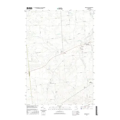
2016 Map of Brushton
USGS Topo · Published 2016About this map
Brushton and Moira anchor this Franklin County landscape, where the Little Salmon River and Farrington Brook converge amidst a network of rural homesteads and family cemeteries. The mapping detail shows a high concentration of burial grounds including Sunnyside Cem, Saint Peters Cem, and Saint Marys Cem, reflecting the deep-rooted community history of the region. Local transport is defined by the intersection of state and county routes, connecting smaller settlements like Alburg and East Dickinson to the larger villages.
Find a feature on this map
65 named features on this map. Tap any name to fly to it.
Don’t see what you’re looking for? This feature index may not catch every label — zoom into the map to look around manually.
Map Details
Editions of this 2016 Brushton Map
This is the sole edition of this map. No revisions or reprints were ever made.
Other maps of this area
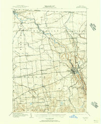
1915 · Malone
USGS Topo · 1:62,500
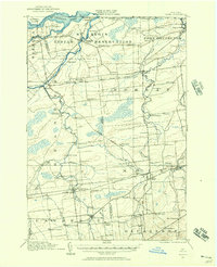
1915 · Moira
USGS Topo · 1:62,500
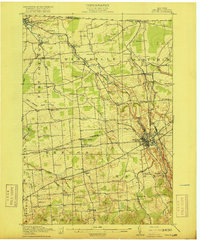
1917 · Malone
USGS Topo · 1:62,500
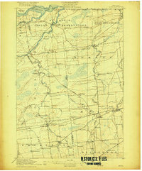
1917 · Moira
USGS Topo · 1:62,500
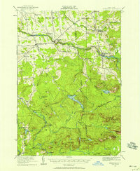
1919 · Nicholville
USGS Topo · 1:62,500
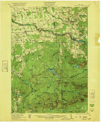
1921 · Nicholville
USGS Topo · 1:62,500
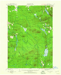
1921 · Santa Clara
USGS Topo · 1:62,500
1923 · Santa Clara
USGS Topo · 1:62,500
1944 · Moira
USGS Topo · 1:62,500
1948 · Ogdensburg
USGS Topo · 1:250,000