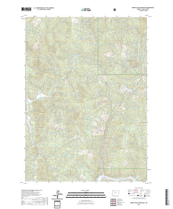
2023 Map of Brushy Bald Mountain
USGS Topo · Published 2023About this map
The Siskiyou National Forest encompasses the vast majority of this landscape, where the northern drainage of the Rogue River meets a high-relief network of ridges and canyons. The southern edge of the sheet follows the Rogue Wild and Scenic River corridor, specifically highlighting navigational landmarks like Lobster Riffle, William Miller Riffle, and the Jennings Riffle. These points, along with riverside features like Lobster Bar, emphasize the river's historic role as a primary corridor through the coastal mountains.
Find a feature on this map
36 named features on this map. Tap any name to fly to it.
Don’t see what you’re looking for? This feature index may not catch every label — zoom into the map to look around manually.
Map Details
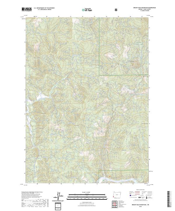
Editions of this 2023 Brushy Bald Mountain Map
2 editions found
Other maps of this area

1899 · Port Orford
USGS Topo · 1:125,000

1903 · Port Orford
USGS Topo · 1:125,000

1954 · Coos Bay
USGS Topo · 1:250,000

1954 · Port Orford
USGS Topo · 1:62,500

1954 · Gold Beach
USGS Topo · 1:62,500

1954 · Collier Butte
USGS Topo · 1:62,500

1954 · Agness
USGS Topo · 1:62,500

1958 · Coos Bay
USGS Topo · 1:250,000

1962 · Coos Bay
USGS Topo · 1:250,000
1986 · Father Mountain
USGS Topo · 1:24,000