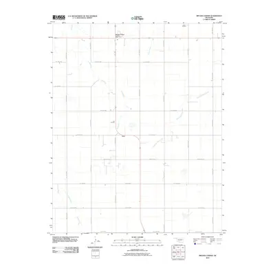
2010 Map of Bryans Corner
USGS Topo · Published 2010About this map
Bryans Corner serves as a primary reference point in this corner of Beaver County, where the intersection of state and local routes anchors the surrounding agricultural community. The landscape is defined by a grid-like network of rural roads such as Hollow E0310 and Hollow N1220, which provide access to scattered farmsteads and points of local heritage. The Balko Post Office and the small settlement of Gray reflect the area's essential social and administrative hubs.
Find a feature on this map
25 named features on this map. Tap any name to fly to it.
Don’t see what you’re looking for? This feature index may not catch every label — zoom into the map to look around manually.
Map Details
Editions of this 2010 Bryans Corner Map
This is the sole edition of this map. No revisions or reprints were ever made.
Other maps of this area

1954 · Perryton
USGS Topo · 1:250,000

1958 · Perryton
USGS Topo · 1:250,000

1973 · Balko
USGS Topo · 1:24,000

1973 · Boyd
USGS Topo · 1:24,000

1973 · Perryton
USGS Topo · 1:24,000

1973 · Bryans Corner SW
USGS Topo · 1:24,000

1973 · Red Horse Creek
USGS Topo · 1:24,000

1973 · Bryans Corner
USGS Topo · 1:24,000

1973 · Balko SW
USGS Topo · 1:24,000

1973 · Huntoon
USGS Topo · 1:24,000