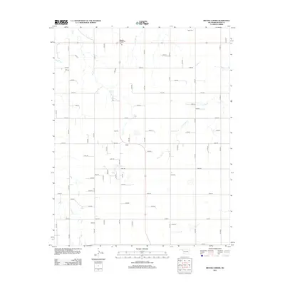
2012 Map of Bryans Corner
USGS Topo · Published 2012About this map
Bryans Corner serves as the primary hub of this high-plains landscape in Beaver County, where the transition from agriculture to the natural drainages of the Oklahoma Panhandle is clearly visible. The settlement is anchored by a local Po and sits at a critical junction of the region's expansive section-line road network. Further south, the community of Gray is marked near the Gray Cem, illustrating the sparse but deliberate pattern of settlement in this arid corridor. The terrain is defined by the intermittent paths of Bull Cr and N Fork Clear Cr, which carve shallow relief across the otherwise flat territory. Genealogists will find value in the placement of Bethel Cem to the northeast, while the network of numbered routes like n1200 RD and e0300 RD provides a precise framework for locating ancestral farmsteads and rural properties.
Find a feature on this map
55 named features on this map. Tap any name to fly to it.
Don’t see what you’re looking for? This feature index may not catch every label — zoom into the map to look around manually.
Map Details
Editions of this 2012 Bryans Corner Map
This is the sole edition of this map. No revisions or reprints were ever made.
Other maps of this area

1954 · Perryton
USGS Topo · 1:250,000

1958 · Perryton
USGS Topo · 1:250,000

1973 · Balko
USGS Topo · 1:24,000

1973 · Boyd
USGS Topo · 1:24,000

1973 · Perryton
USGS Topo · 1:24,000

1973 · Bryans Corner SW
USGS Topo · 1:24,000

1973 · Red Horse Creek
USGS Topo · 1:24,000

1973 · Bryans Corner
USGS Topo · 1:24,000

1973 · Balko SW
USGS Topo · 1:24,000

1973 · Huntoon
USGS Topo · 1:24,000