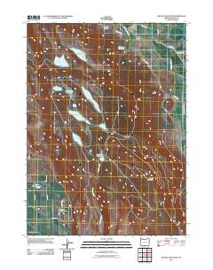
2011 Map of Bryant Mountain
USGS Topo · Published 2011About this map
Hot Springs serves as a small focal point in this high desert landscape, situated near the northern reach of the Lost River. The geography is defined by an extensive network of water management features, including the High Line Ditch and West Canal, which supported the agricultural development of the region. Dozens of reservoirs and small lakes, such as Harpold Reservoir, Captain Jack Lake, and Worlow Reservoir, are scattered across the terrain, indicating a complex system of irrigation and water storage designed to manage the arid environment.
Find a feature on this map
31 named features on this map. Tap any name to fly to it.
Don’t see what you’re looking for? This feature index may not catch every label — zoom into the map to look around manually.
Map Details
Editions of this 2011 Bryant Mountain Map
This is the sole edition of this map. No revisions or reprints were ever made.
Other maps of this area
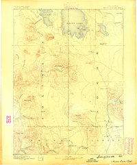
1886 · Modoc Lava Bed
USGS Topo · 1:250,000
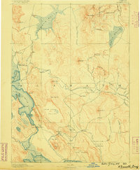
1889 · Klamath
USGS Topo · 1:250,000
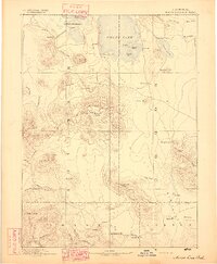
1892 · Modoc Lava-Bed
USGS Topo · 1:250,000
1894 · Klamath
USGS Topo · 1:250,000
1951 · Clear Lake Reservoir
USGS Topo · 1:62,500
1951 · Tulelake
USGS Topo · 1:62,500
1954 · Alturas
USGS Topo · 1:250,000
1955 · Klamath Falls
USGS Topo · 1:250,000
1957 · Malin
USGS Topo · 1:62,500
1958 · Alturas
USGS Topo · 1:250,000