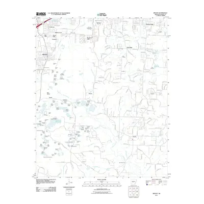
2011 Map of Bryant
USGS Topo · Published 2011About this map
Bryant and its surrounding residential developments, including Evergreen, Woodland Hills, and Shannon Hills, define the northern landscape of this Saline County region. The map captures a heavy industrial footprint south of the main settlements, dominated by extensive mining operations like the Quapaw North Pit Mine and the Covington Number 5 Mine. These excavations are interspersed with water features such as the Old Brown Mud Lakes and Dotty Lake, illustrating a landscape deeply altered by resource extraction.
Find a feature on this map
136 named features on this map. Tap any name to fly to it.
Don’t see what you’re looking for? This feature index may not catch every label — zoom into the map to look around manually.
Map Details
Editions of this 2011 Bryant Map
This is the sole edition of this map. No revisions or reprints were ever made.
Other maps of this area

1890 · Benton
USGS Topo · 1:125,000

1891 · Little Rock
USGS Topo · 1:125,000

1893 · Little Rock
USGS Topo · 1:125,000

1894 · Benton
USGS Topo · 1:125,000

1935 · Little Rock
USGS Topo · 1:24,000

1935 · Alexander
USGS Topo · 1:48,000

1938 · Benton
USGS Topo · 1:48,000

1941 · Alexander
USGS Topo · 1:62,500

1944 · Benton
USGS Topo · 1:62,500

1944 · Alexander
USGS Topo · 1:31,680