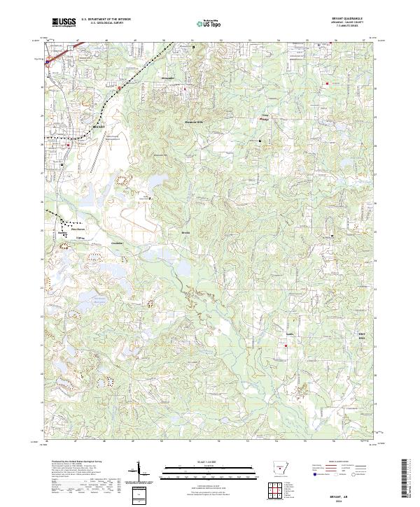
2024 Map of Bryant
USGS Topo · Published 2024About this map
Hurricane Creek and its many tributaries, including Blue Branch and Emory Branch, define the central landscape of this Saline County region. The map documents the intricate suburban and rural development between Bryant and Alexander, showing a dense network of residential roads like Bradbury Ln and Debswood Dr interspersed with significant local landmarks. For genealogists, the survey identifies several family and community burial sites, including China Grove Cem and Mcpherson Cem. Industrial history is represented by the Lignite deposit and the Bertha Mine Rd corridor, pointing to the area's geological resources. The inclusion of the Saline County Regional Airport and the crossing of Vimy Ridge highlights the region's role as a transportation and residential hub southwest of the state capital.
Find a feature on this map
172 named features on this map. Tap any name to fly to it.
Don’t see what you’re looking for? This feature index may not catch every label — zoom into the map to look around manually.
Map Details
Editions of this 2024 Bryant Map
This is the sole edition of this map. No revisions or reprints were ever made.
Other maps of this area

1890 · Benton
USGS Topo · 1:125,000

1891 · Little Rock
USGS Topo · 1:125,000

1893 · Little Rock
USGS Topo · 1:125,000

1894 · Benton
USGS Topo · 1:125,000

1935 · Little Rock
USGS Topo · 1:24,000

1935 · Alexander
USGS Topo · 1:48,000

1938 · Benton
USGS Topo · 1:48,000

1941 · Alexander
USGS Topo · 1:62,500

1944 · Benton
USGS Topo · 1:62,500

1944 · Alexander
USGS Topo · 1:31,680