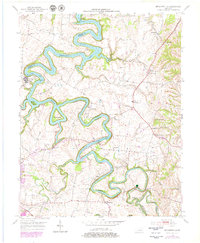
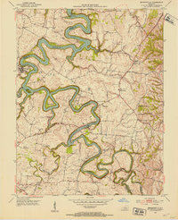
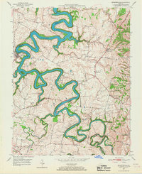
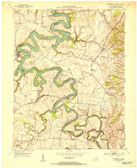
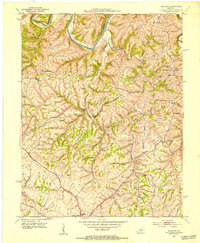
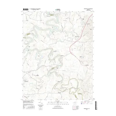
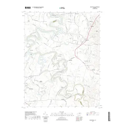
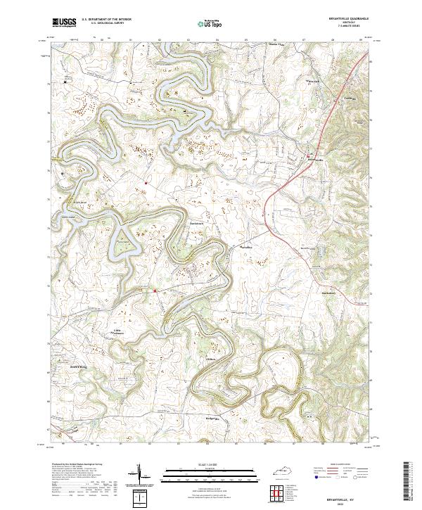
1952 Map of Bryantsville
USGS Topo · Published 1979About this map
Herrington Lake dominates this central Kentucky landscape, winding through the limestone cliffs where the Dix River defines the border between Garrard and Boyle counties. The area is anchored by the historic village of Bryantsville, situated along the northern reach of the legendary Wilderness Trail. The map details a transition from the era of early settlements and rural crossroads to the mid-20th-century development of recreational and institutional sites, including the State Hospital and the Danville Country Club. Local history and genealogy are deeply embedded in the terrain, marked by family burial grounds like Proctor Cem and Robinson Road Cem. Prominent landmarks such as Camp Dick Robinson and the sharp rise of Burdette Knob provide navigational anchors amidst the complex river meanders, while small communities like Davistown, Marcellus, and Hedgeville reflect the enduring agricultural character of the Bluegrass region.
Find a feature on this map
40 named features on this map. Tap any name to fly to it.
Don’t see what you’re looking for? This feature index may not catch every label — zoom into the map to look around manually.
Map Details
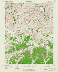
Editions of this 1952 Bryantsville Map
3 editions found
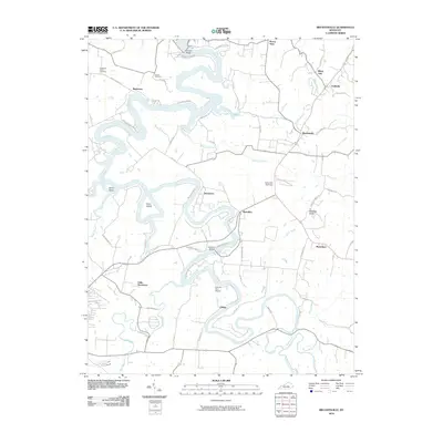
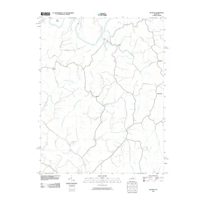
Historical Maps of Danville Through Time
19 maps found
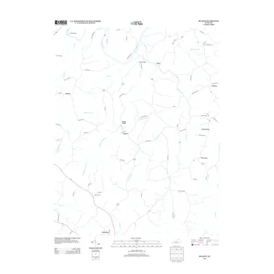
1950 Bryantsville
Garrard County, KY
1952 Bryantsville
Garrard County, KY
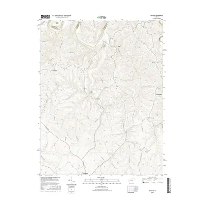
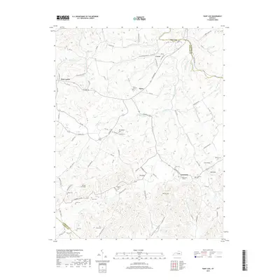
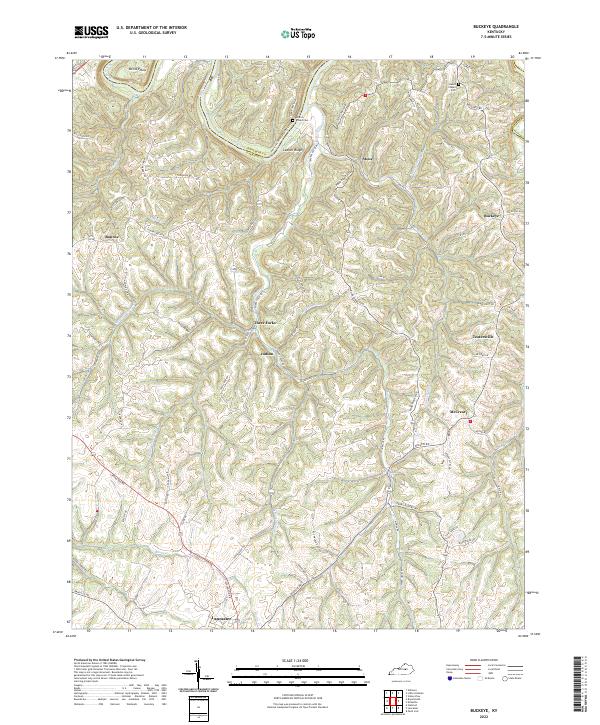
1952 Buckeye
Garrard County, KY
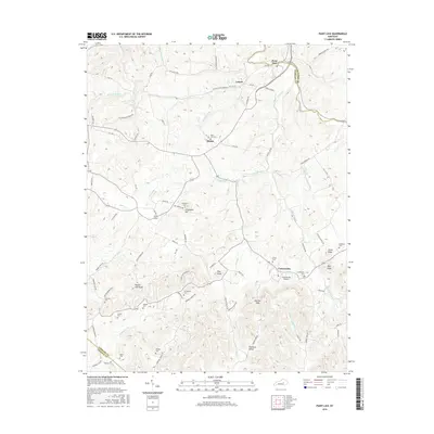
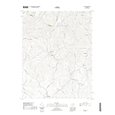
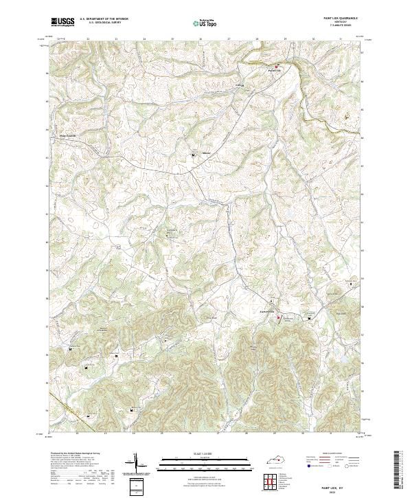
1952 Paint Lick
Garrard County, KY
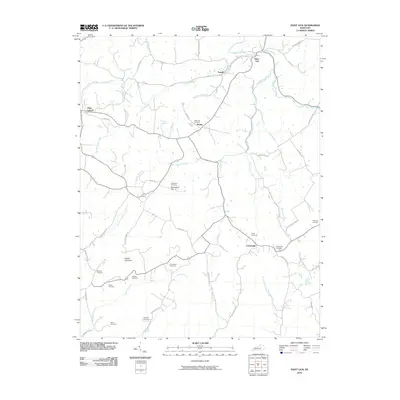
2010 Bryantsville
Garrard County, KY
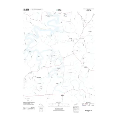
2010 Buckeye
Garrard County, KY
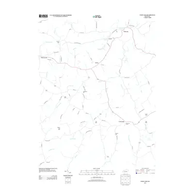
2010 Paint Lick
Garrard County, KY
2013 Bryantsville
Garrard County, KY
2013 Buckeye
Garrard County, KY
2013 Paint Lick
Garrard County, KY
2016 Bryantsville
Garrard County, KY
2016 Buckeye
Garrard County, KY
2016 Paint Lick
Garrard County, KY
2019 Bryantsville
Garrard County, KY
2019 Buckeye
Garrard County, KY
2019 Paint Lick
Garrard County, KY
2022 Bryantsville
Garrard County, KY
2022 Buckeye
Garrard County, KY
2022 Paint Lick
Garrard County, KY