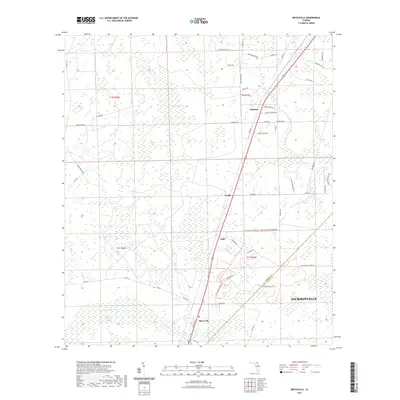
2021 Map of Bryceville
USGS Topo · Published 2021About this map
Bryceville and the crossing of the Nassau and Duval county line define this section of Northeast Florida. The landscape is characterized by its drainage into Brandy Branch Swamp and the headwaters of Thomas Creek. Several small settlements like Dahoma, Verdie, and Ingle are situated along the primary north-south transportation corridor, reflecting the rural residential pattern of the region. Much of the eastern portion is occupied by the Carey State Forest Preserve, where numerous tracks like the Cary State Forest Trl and Fire Tower Rd provide access through the wetlands. The map also shows specialized agricultural sites such as the Florida Horse Ranch, illustrating the area's transition from forest and swamp to managed land near the expanding reach of Jacksonville.
Find a feature on this map
53 named features on this map. Tap any name to fly to it.
Don’t see what you’re looking for? This feature index may not catch every label — zoom into the map to look around manually.
Map Details
Editions of this 2021 Bryceville Map
This is the sole edition of this map. No revisions or reprints were ever made.
Other maps of this area

1917 · Cambon
USGS Topo · 1:62,500

1917 · Macclenny
USGS Topo · 1:62,500

1917 · Hilliard
USGS Topo · 1:62,500

1918 · Moniac
USGS Topo · 1:62,500

1918 · Cambon
USGS Topo · 1:62,500

1918 · Macclenny
USGS Topo · 1:62,500

1919 · Hilliard
USGS Topo · 1:62,500

1942 · Moniac
USGS Topo · 1:62,500

1948 · Jacksonville
USGS Topo · 1:250,000

1954 · Valdosta
USGS Topo · 1:250,000