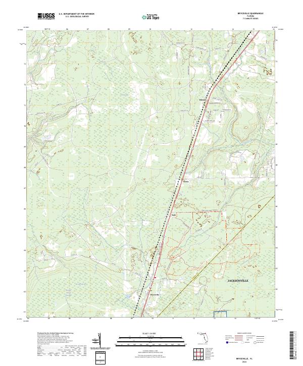
2024 Map of Bryceville
USGS Topo · Published 2024About this map
The Nassau and Duval County border defines the rural character of this region, where the town of Bryceville stands at the junction of Otis Rd and Co Rd 121. The landscape is a mosaic of lowland environments including Brandy Branch Swamp and Crosby Bay, indicating a terrain heavily influenced by slow-moving water systems like Thomas Creek and Deep Creek. Commercial and recreational land use is evident in the presence of the Florida Horse Ranch and the protected Carey State Forest Preserve, which is crisscrossed by the Cary State Forest Trl. Small settlements such as Dahoma, Verdie, and Ingle are linked by a network of secondary roads, while the military footprint of Olf Whitehouse marks the southeastern edge where the boundary meets the outskirts of Jacksonville.
Find a feature on this map
53 named features on this map. Tap any name to fly to it.
Don’t see what you’re looking for? This feature index may not catch every label — zoom into the map to look around manually.
Map Details
Editions of this 2024 Bryceville Map
This is the sole edition of this map. No revisions or reprints were ever made.
Other maps of this area

1917 · Cambon
USGS Topo · 1:62,500

1917 · Macclenny
USGS Topo · 1:62,500

1917 · Hilliard
USGS Topo · 1:62,500

1918 · Moniac
USGS Topo · 1:62,500

1918 · Cambon
USGS Topo · 1:62,500

1918 · Macclenny
USGS Topo · 1:62,500

1919 · Hilliard
USGS Topo · 1:62,500

1942 · Moniac
USGS Topo · 1:62,500

1948 · Jacksonville
USGS Topo · 1:250,000

1954 · Valdosta
USGS Topo · 1:250,000