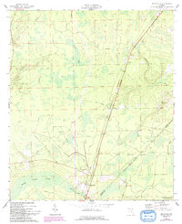
1964 Map of Bryceville
USGS Topo · Published 1992About this map
Bryceville serves as the focal point of this rural Northeast Florida landscape, situated just north of the Brandy Br and Brandy Branch Swamp. The area is defined by the intersection of forest management and transportation, with the Seaboard Coast Line railroad cutting a sharp diagonal through the terrain, passing through the small settlements of Dahoma, Verdie, and Ingle. The presence of the Cary State Forest dominates the southern half of the map, illustrating the region's historical reliance on timber and naval stores.
Find a feature on this map
22 named features on this map. Tap any name to fly to it.
Don’t see what you’re looking for? This feature index may not catch every label — zoom into the map to look around manually.
Map Details
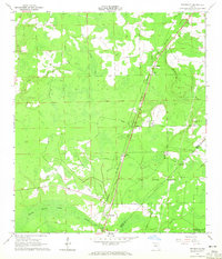
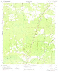
Editions of this 1964 Bryceville Map
3 editions found
Other maps of this area

1917 · Cambon
USGS Topo · 1:62,500

1917 · Macclenny
USGS Topo · 1:62,500

1917 · Hilliard
USGS Topo · 1:62,500

1918 · Moniac
USGS Topo · 1:62,500

1918 · Cambon
USGS Topo · 1:62,500

1918 · Macclenny
USGS Topo · 1:62,500

1919 · Hilliard
USGS Topo · 1:62,500

1942 · Moniac
USGS Topo · 1:62,500

1948 · Jacksonville
USGS Topo · 1:250,000

1954 · Valdosta
USGS Topo · 1:250,000