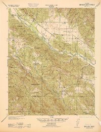
1942 Map of Bryson
USGS Topo · Published 1942About this map
The Hunter Liggett Military Reservation dominates this 1940s landscape, illustrating a critical period when massive tracts of California cattle country were converted for wartime training. Large family holdings and historic land grants are clearly marked, including the El Piojo Ranch, Graves Ranch, and Davis Ranch. These properties are spread across a terrain defined by the San Antonio River and Nacimiento River, where small rural communities like Jolon and Lockwood served as local hubs.
Find a feature on this map
65 named features on this map. Tap any name to fly to it.
Don’t see what you’re looking for? This feature index may not catch every label — zoom into the map to look around manually.
Map Details
Editions of this 1942 Bryson Map
This is the sole edition of this map. No revisions or reprints were ever made.
Other maps of this area
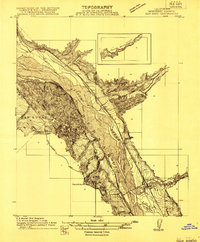
1912 · San Ardo
USGS Topo · 1:31,680
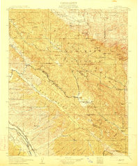
1915 · Priest Valley
USGS Topo · 1:125,000
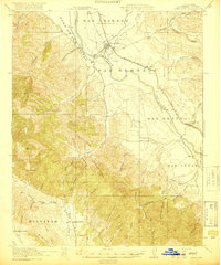
1919 · King City
USGS Topo · 1:62,500
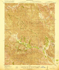
1919 · Junipero Serra
USGS Topo · 1:62,500
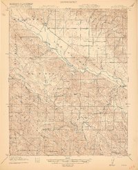
1919 · Bryson
USGS Topo · 1:62,500
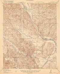
1919 · Bradley
USGS Topo · 1:62,500
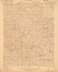
1919 · Adelaida
USGS Topo · 1:62,500
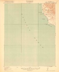
1919 · Piedras Blancas
USGS Topo · 1:62,500
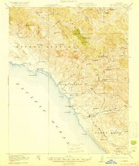
1919 · San Simeon
USGS Topo · 1:62,500
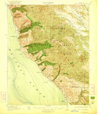
1921 · Cape San Martin
USGS Topo · 1:62,500