
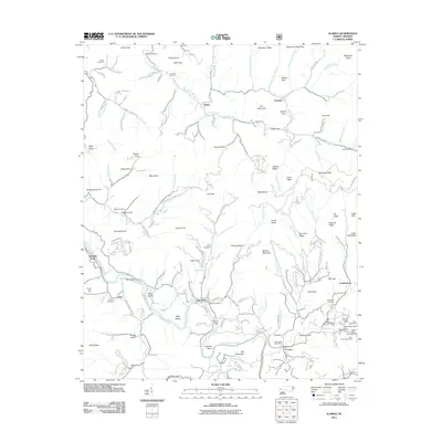
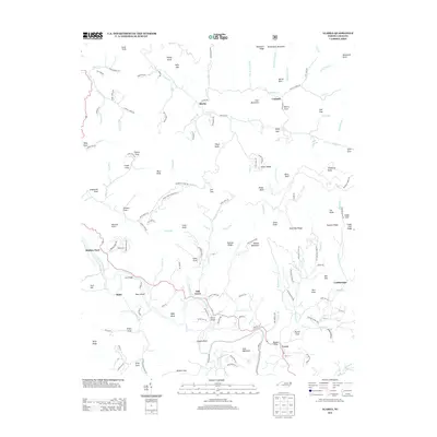
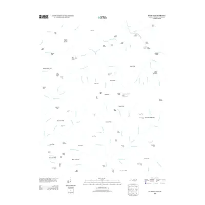
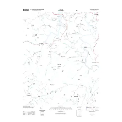
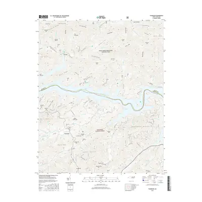
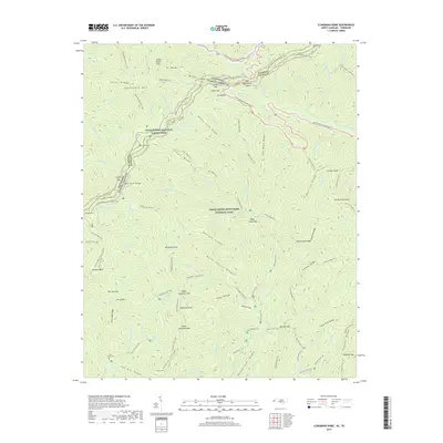
1941 Map of Bryson
USGS Topo · Published 1941About this map
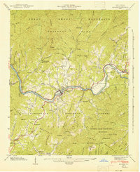
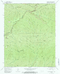
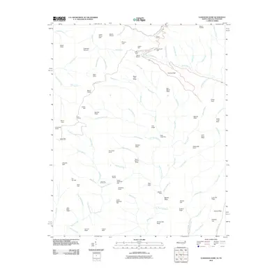
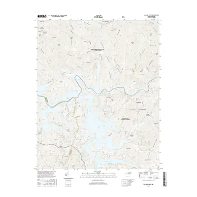
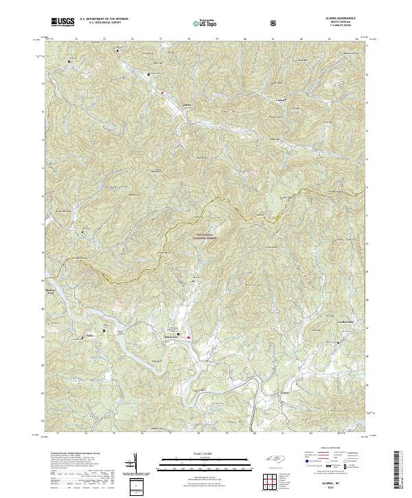
Bryson City serves as the focal point for this 1941 Tennessee Valley Authority and USGS survey, situated at the confluence of the Tuckasegee River and Deep Creek. The landscape is a complex intersection of federal and tribal lands, bordered by the Great Smoky Mountains National Park to the north and the Nantahala National Forest to the south. Notable for local historians is the Cherokee Indian Reservation Tract Qualla in the east, which contains the settlement of Ela and the Southern railroad line. The map provides significant genealogical value, documenting numerous small family cemeteries such as Randall Cem, Sherrill Cem, and Watkins Cem. The rugged geography is marked by landmarks like Rocky Face Mountain and Sharptop, while the valley floor shows the transition from rural dwellings at Jenkins Place and Alarka to the growing town center, featuring the Gaging Station and the Bryson City Reservoir.
Find a feature on this map
120 named features on this map. Tap any name to fly to it.
Don’t see what you’re looking for? This feature index may not catch every label — zoom into the map to look around manually.
Map Details
Editions of this 1941 Bryson Map
2 editions found
Historical Maps of Bryson City Through Time
80 maps found

1933 Bryson
Swain County, NC

1933 Bushnell
Swain County, NC

1936 Alarka
Swain County, NC

1936 Bryson
Swain County, NC

1936 Bunches Bald
Swain County, NC

1936 Judson
Swain County, NC

1936 Proctor
Swain County, NC

1936 Ravensford
Swain County, NC

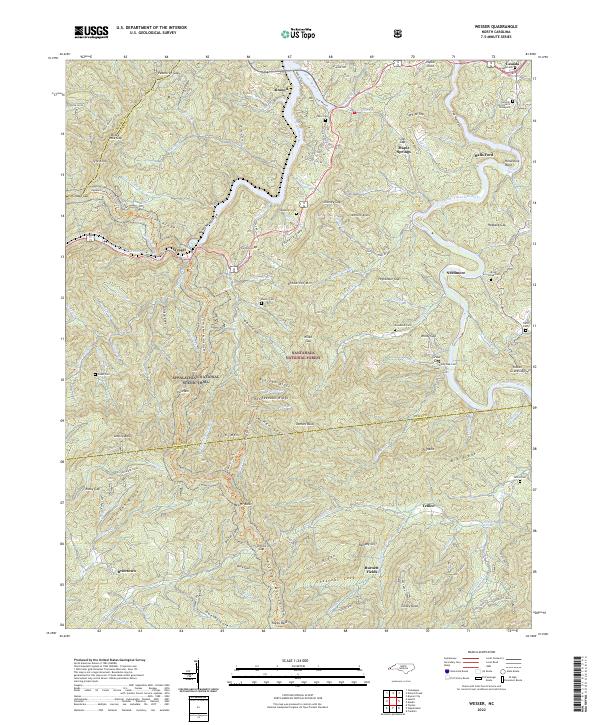
1936 Wesser
Swain County, NC

1940 Alarka
Swain County, NC

1940 Bryson
Swain County, NC

1940 Judson
Swain County, NC

1940 Proctor
Swain County, NC
1940 Wesser
Swain County, NC

1941 Alarka
Swain County, NC
1941 Bryson
Swain County, NC

1941 Judson
Swain County, NC

1941 Proctor
Swain County, NC
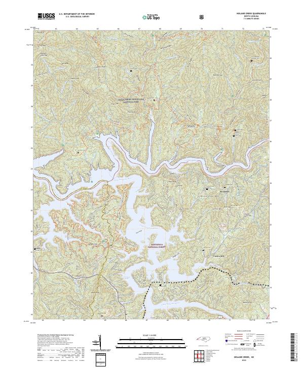
1961 Noland Creek
Swain County, NC

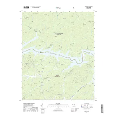
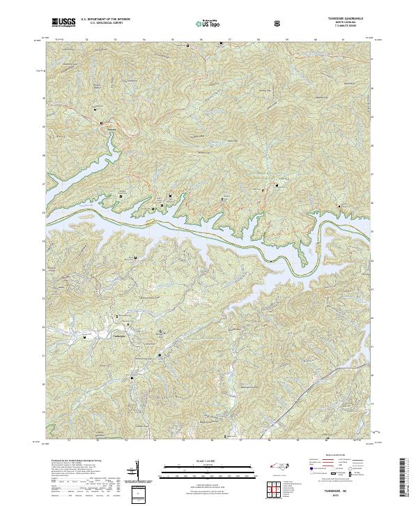
1961 Tuskeegee
Swain County, NC
1961 Wesser
Swain County, NC

1964 Bunches Bald
Swain County, NC
1964 Clingmans Dome
Swain County, NC
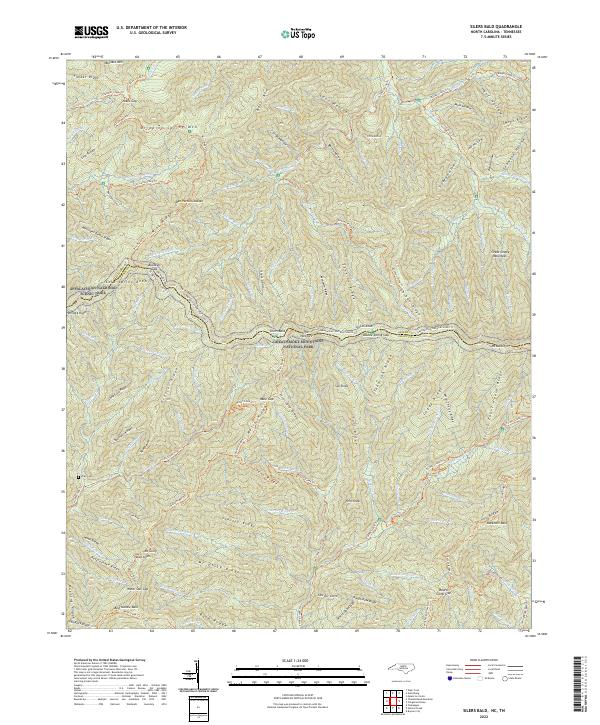
1964 Silers Bald
Swain County, NC

1964 Smokemont
Swain County, NC
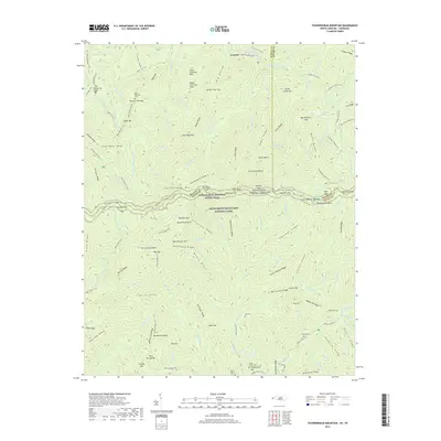
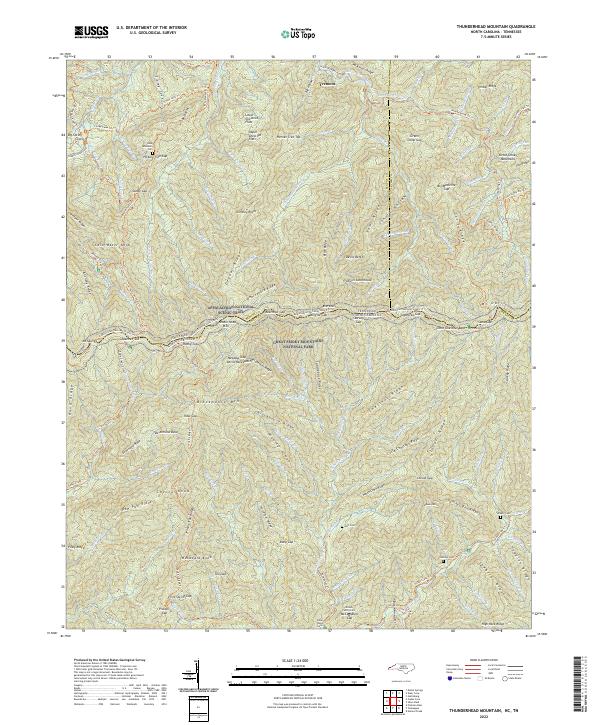
1964 Thunderhead Mtn
Swain County, NC

1976 Bunches Bald
Swain County, NC

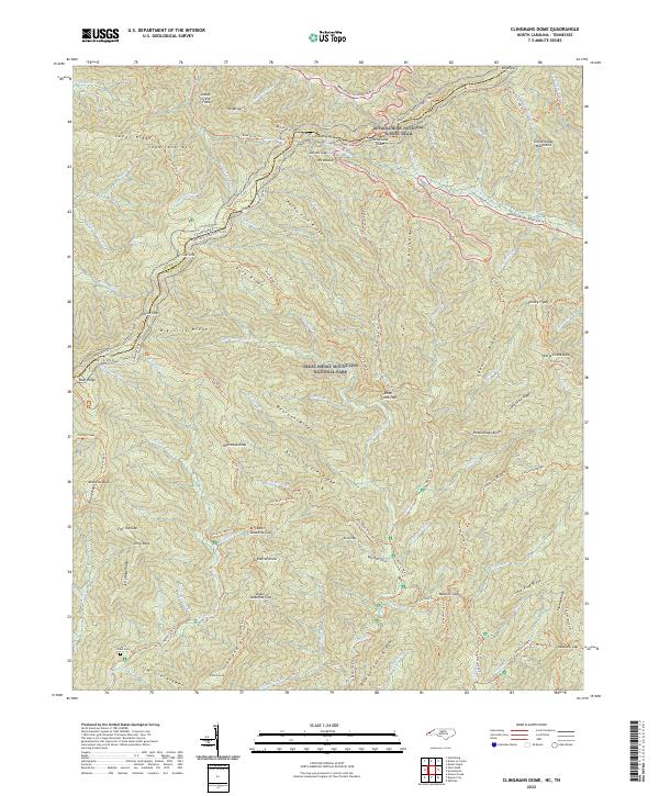
1976 Clingmans Dome
Swain County, NC

1976 Noland Creek
Swain County, NC

1976 Silers Bald
Swain County, NC

1976 Tuskeegee
Swain County, NC

1976 Wesser
Swain County, NC

2000 Bunches Bald
Swain County, NC

2000 Clingmans Dome
Swain County, NC

2000 Smokemont
Swain County, NC
2010 Bunches Bald
Swain County, NC
2010 Kuwohi
Swain County, NC
2010 Silers Bald
Swain County, NC
2010 Smokemont
Swain County, NC
2010 Thunderhead Mountain
Swain County, NC
2011 Alarka
Swain County, NC
2011 Noland Creek
Swain County, NC
2011 Tuskeegee
Swain County, NC
2011 Wesser
Swain County, NC
2013 Alarka
Swain County, NC
2013 Bunches Bald
Swain County, NC
2013 Kuwohi
Swain County, NC
2013 Noland Creek
Swain County, NC
2013 Silers Bald
Swain County, NC
2013 Smokemont
Swain County, NC
2013 Thunderhead Mountain
Swain County, NC
2013 Tuskeegee
Swain County, NC
2013 Wesser
Swain County, NC
2016 Alarka
Swain County, NC
2016 Bunches Bald
Swain County, NC
2016 Kuwohi
Swain County, NC
2016 Noland Creek
Swain County, NC
2016 Silers Bald
Swain County, NC
2016 Smokemont
Swain County, NC
2016 Thunderhead Mountain
Swain County, NC
2016 Tuskeegee
Swain County, NC
2016 Wesser
Swain County, NC
2019 Alarka
Swain County, NC
2019 Bunches Bald
Swain County, NC
2019 Kuwohi
Swain County, NC
2019 Noland Creek
Swain County, NC
2019 Silers Bald
Swain County, NC
2019 Smokemont
Swain County, NC
2019 Thunderhead Mountain
Swain County, NC
2019 Tuskeegee
Swain County, NC
2019 Wesser
Swain County, NC
2022 Alarka
Swain County, NC
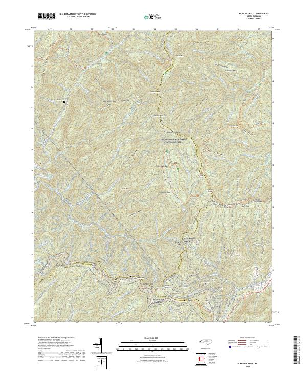
2022 Bunches Bald
Swain County, NC
2022 Kuwohi
Swain County, NC
2022 Noland Creek
Swain County, NC
2022 Silers Bald
Swain County, NC

2022 Smokemont
Swain County, NC
2022 Thunderhead Mountain
Swain County, NC
2022 Wesser
Swain County, NC
2023 Tuskeegee
Swain County, NC