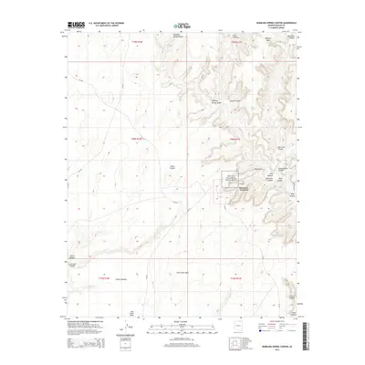
2014 Map of Bubbling Spring Canyon
USGS Topo · Published 2014About this map
Navajo National Monument centers this high-desert landscape, protecting archaeological sites within the deep incisions of Betatakin Canyon and Tsegi Canyon. The terrain is defined by the sharp transition between the elevated Skeleton Mesa to the north and the broad Shonto Plateau to the south. This network of canyons, including Bubbling Spring Canyon and Keet Seel Canyon, is sustained by a series of vital water sources like Bubbling Spring, Peach Spring, and Boiling Spring. From the Betatakin Overlook, the map traces the convergence of Dowozhiebito Canyon and Long Canyon, illustrating how the complex drainage systems of John Smith Wash and Shonto Wash have carved this territory over time. Access is primarily through Bureau of Indian Affairs routes like Bia-6310 and Bia-221, which navigate the high ridges and wash basins.
Find a feature on this map
33 named features on this map. Tap any name to fly to it.
Don’t see what you’re looking for? This feature index may not catch every label — zoom into the map to look around manually.
Map Details
Editions of this 2014 Bubbling Spring Canyon Map
This is the sole edition of this map. No revisions or reprints were ever made.
Other maps of this area

1883 · Marsh Pass
USGS Topo · 1:250,000

1892 · Marsh Pass
USGS Topo · 1:250,000
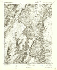
1952 · Agathla Peak 2 SW
USGS Topo · 1:24,000
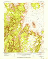
1952 · Boot Mesa
USGS Topo · 1:62,500

1956 · Marble Canyon
USGS Topo · 1:250,000

1959 · Marble Canyon
USGS Topo · 1:250,000

1961 · Marble Canyon
USGS Topo · 1:250,000
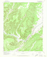
1968 · Marsh Pass
USGS Topo · 1:24,000
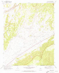
1970 · Shonto SE
USGS Topo · 1:24,000
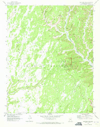
1970 · Betatakin Ruin
USGS Topo · 1:24,000