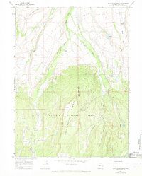
1964 Map of Buck Fever Ridge
USGS Topo · Published 1968About this map
Thunderbolt Mountain and Buck Fever Ridge dominate this high-altitude landscape within the Wasatch National Forest as it was surveyed in the early 1960s. The area is defined by its complex water management system, where several Jeep Trails and a network of engineered waterways like Botero Ditch, Murray Ditch, and Milich Ditch traverse the steep slopes to divert snowmelt. These systems feed into Murray Reservoir and Graham Reservoir No 1, supporting the isolated agricultural outposts in the valleys.
Find a feature on this map
29 named features on this map. Tap any name to fly to it.
Don’t see what you’re looking for? This feature index may not catch every label — zoom into the map to look around manually.
Map Details
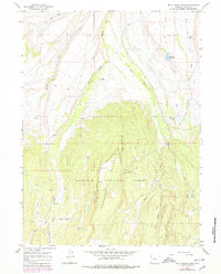
Editions of this 1964 Buck Fever Ridge Map
2 editions found
Other maps of this area

1885 · Uinta
USGS Topo · 1:250,000

1901 · Hayden Peak
USGS Topo · 1:125,000

1903 · Hayden Peak
USGS Topo · 1:125,000

1905 · Gilbert Peak
USGS Topo · 1:125,000

1906 · Gilbert Peak
USGS Topo · 1:125,000

1954 · Salt Lake City
USGS Topo · 1:250,000

1954 · Ogden
USGS Topo · 1:250,000

1958 · Ogden
USGS Topo · 1:250,000

1958 · Salt Lake City
USGS Topo · 1:250,000

1960 · Ogden
USGS Topo · 1:250,000