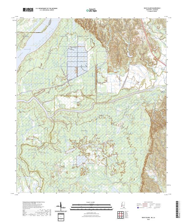
2024 Map of Buck Island
USGS Topo · Published 2024About this map
The Saint Catherine Creek National Wildlife Refuge dominates this riverfront landscape along the border of Mississippi and Louisiana, protecting a complex network of wetlands and seasonal floodplains. The dynamic movement of the Mississippi River is evident in features like the Glasscock Cutoff and Glasscock Point, where the river's historical course has been engineered or naturally altered over time. To the south, the Homochitto River and its Abernathy Channel weave through a terrain defined by low-lying islands such as Tansey Island and the namesake Buck Island.
Find a feature on this map
40 named features on this map. Tap any name to fly to it.
Don’t see what you’re looking for? This feature index may not catch every label — zoom into the map to look around manually.
Map Details
Editions of this 2024 Buck Island Map
This is the sole edition of this map. No revisions or reprints were ever made.
Other maps of this area

1936 · Woodville
USGS Topo · 1:62,500

1939 · Kingston
USGS Topo · 1:62,500

1939 · Artonish
USGS Topo · 1:62,500

1939 · Deer Park
USGS Topo · 1:62,500

1953 · Natchez
USGS Topo · 1:250,000

1954 · Artonish
USGS Topo · 1:62,500

1955 · Artonish
USGS Topo · 1:62,500

1956 · Natchez
USGS Topo · 1:250,000

1958 · Artonish
USGS Topo · 1:62,500

1958 · Woodville
USGS Topo · 1:62,500