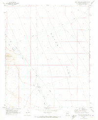
1970 Map of Buck Mountains NE
USGS Topo · Published 1973About this map
Dutch Flat dominates this 1970 Mohave County landscape, a broad desert expanse framed by the Buck Mountains to the west. The map records an arid environment where water management and infrastructure are paramount, evidenced by the presence of a Pipeline cutting through the terrain and the uniquely named Shot Up Well. The network of travel through this remote stretch of Arizona is defined by the Dutch Flat Road and various jeep trails, which cross seasonal drainage systems like Cow Creek and Buck Mountain Wash. A lone Corral and the survey point Dutch 1940 provide small but significant markers of human activity and surveying history in a region primarily shaped by its topography. This survey was photogrammetrically mapped in 1969 and field checked in 1970, capturing the infrastructure of the high desert before further modern development.
Find a feature on this map
11 named features on this map. Tap any name to fly to it.
Don’t see what you’re looking for? This feature index may not catch every label — zoom into the map to look around manually.
Map Details
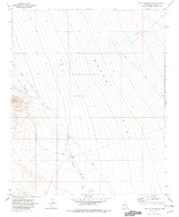
Editions of this 1970 Buck Mountains NE Map
2 editions found
Other maps of this area

1923 · Signal
USGS Topo · 1:250,000

1927 · Yucca
USGS Topo · 1:62,500

1927 · Buck Mountains
USGS Topo · 1:62,500

1929 · Buck Mountains
USGS Topo · 1:62,500

1929 · Yucca
USGS Topo · 1:62,500

1942 · Signal
USGS Topo · 1:250,000

1950 · Prescott
USGS Topo · 1:250,000

1954 · Needles
USGS Topo · 1:250,000

1954 · Prescott
USGS Topo · 1:250,000

1956 · Needles
USGS Topo · 1:250,000