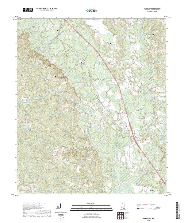
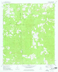
2024 Map of Buckatunna
USGS Topo · Published 2024About this map
The Chickasawhay River carves a winding path through this corner of Wayne County, defining the local geography and historical transport routes of the region. Localities like Buckatunna and Chicora serve as central nodes for a network of rural roads, including several named for early families such as Rob Powe Rd and Ramsey Rd. The river's influence is evident at historical crossing points like Pattons Ferry and Poes Ferry, which provided essential transit before modern bridges.
Find a feature on this map
80 named features on this map. Tap any name to fly to it.
Don’t see what you’re looking for? This feature index may not catch every label — zoom into the map to look around manually.
Map Details
Editions of this 2024 Buckatunna Map
This is the sole edition of this map. No revisions or reprints were ever made.
Other maps of this area

1953 · Hattiesburg
USGS Topo · 1:250,000

1958 · Hattiesburg
USGS Topo · 1:250,000
1964 · Denham
USGS Topo · 1:24,000
1964 · Knobtown
USGS Topo · 1:24,000
1964 · Clara
USGS Topo · 1:24,000
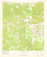
1964 · Waynesboro
USGS Topo · 1:24,000
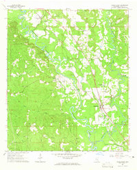
1964 · Buckatunna
USGS Topo · 1:24,000
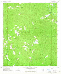
1964 · Piave
USGS Topo · 1:24,000
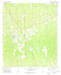
1974 · State Line
USGS Topo · 1:24,000
1974 · Copeland
USGS Topo · 1:24,000