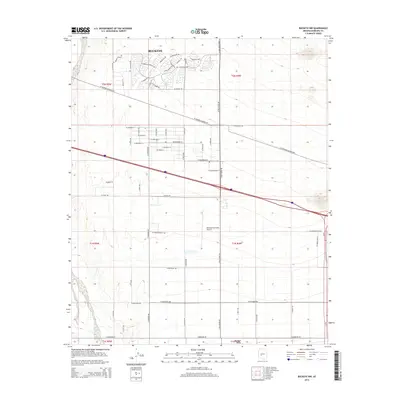
2014 Map of Buckeye NW
USGS Topo · Published 2014About this map
The town of Buckeye expands into the desert during this 2014 survey, showcasing a mix of established agricultural grids and modern residential development. To the north, curvilinear suburban streets like W Tartesso Pky and W Arroyo Crossing Dr contrast with the strict section-line roads that define the region's historic landscape. This interplay between old and new is centered around transportation corridors, most notably the W Tonopah-Salome Hwy and the interstate corridor, which drive the area's contemporary growth.
Find a feature on this map
63 named features on this map. Tap any name to fly to it.
Don’t see what you’re looking for? This feature index may not catch every label — zoom into the map to look around manually.
Map Details
Editions of this 2014 Buckeye NW Map
This is the sole edition of this map. No revisions or reprints were ever made.
Other maps of this area

1954 · Phoenix
USGS Topo · 1:250,000

1957 · Phoenix
USGS Topo · 1:250,000

1957 · White Tank Mts. SE
USGS Topo · 1:24,000

1957 · Valencia
USGS Topo · 1:24,000

1957 · White Tank Mts.
USGS Topo · 1:62,500

1958 · Phoenix
USGS Topo · 1:250,000

1958 · Buckeye NW
USGS Topo · 1:24,000

1958 · Hassayampa
USGS Topo · 1:24,000

1958 · Buckeye
USGS Topo · 1:24,000

1958 · Buckeye
USGS Topo · 1:62,500