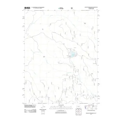
2011 Map of Buckeye Reservoir
USGS Topo · Published 2011About this map
Buckeye Reservoir serves as a central focal point for this landscape along the Colorado-Utah border, held by the Buckeye Number 1 Dam. The surrounding terrain is defined by its industrial activity and high-elevation features, including the notable Sinbad Ridge and the broad expanse of Pine Flat. A network of Forest Service roads, such as Geyser Pass Rd and Buckeye Rd, connects the high country and provides access to several extractive sites.
Find a feature on this map
32 named features on this map. Tap any name to fly to it.
Don’t see what you’re looking for? This feature index may not catch every label — zoom into the map to look around manually.
Map Details
Editions of this 2011 Buckeye Reservoir Map
This is the sole edition of this map. No revisions or reprints were ever made.
Other maps of this area
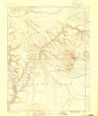
1885 · La Sal
USGS Topo · 1:250,000
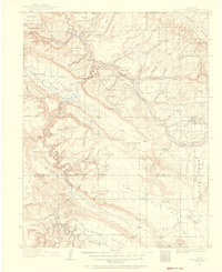
1916 · Paradox Valley
USGS Topo · 1:125,000
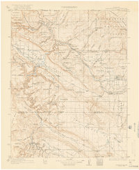
1922 · Paradox Valley
USGS Topo · 1:125,000
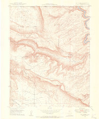
1948 · Roc Creek
USGS Topo · 1:24,000
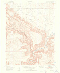
1948 · Paradox
USGS Topo · 1:24,000
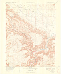
1949 · Paradox
USGS Topo · 1:24,000
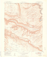
1949 · Roc Creek
USGS Topo · 1:24,000
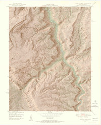
1949 · Juanita Arch
USGS Topo · 1:24,000
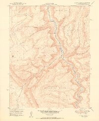
1950 · Juanita Arch
USGS Topo · 1:24,000
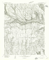
1954 · Mt Peale 1 SE
USGS Topo · 1:24,000