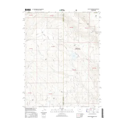
2016 Map of Buckeye Reservoir
USGS Topo · Published 2016About this map
Buckeye Reservoir sits at the heart of this high-elevation landscape along the border of San Juan County, Utah, and Montrose County, Colorado. The rugged terrain is defined by dramatic geological features such as the Sinbad Ridge and the Sinbad Valley in the northeast, while the southern reaches descend into the depths of Trinity Canyon. Much of the area is protected within the Manti-Lasal National Forest, where a network of primitive routes like Geyser Pass Rd and Two Mile Rd provides access to remote landmarks like Pine Flat and Willow Basin. Historically, this area served as a vital passage for travelers, evidenced by the presence of the Paradox Trail. Water sources including Mellenthin Cr and W Paradox Cr carve through the draws and flats, shaping the drainage patterns across the state line at State Line Draw.
Find a feature on this map
44 named features on this map. Tap any name to fly to it.
Don’t see what you’re looking for? This feature index may not catch every label — zoom into the map to look around manually.
Map Details
Editions of this 2016 Buckeye Reservoir Map
This is the sole edition of this map. No revisions or reprints were ever made.
Other maps of this area
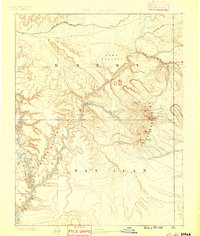
1885 · La Sal
USGS Topo · 1:250,000
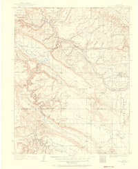
1916 · Paradox Valley
USGS Topo · 1:125,000
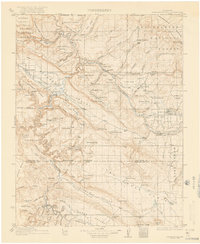
1922 · Paradox Valley
USGS Topo · 1:125,000
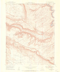
1948 · Roc Creek
USGS Topo · 1:24,000
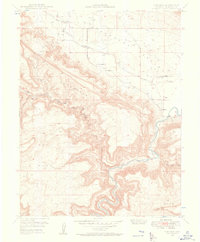
1948 · Paradox
USGS Topo · 1:24,000
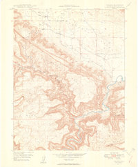
1949 · Paradox
USGS Topo · 1:24,000
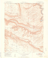
1949 · Roc Creek
USGS Topo · 1:24,000
1949 · Juanita Arch
USGS Topo · 1:24,000
1950 · Juanita Arch
USGS Topo · 1:24,000
1954 · Mt Peale 1 SE
USGS Topo · 1:24,000