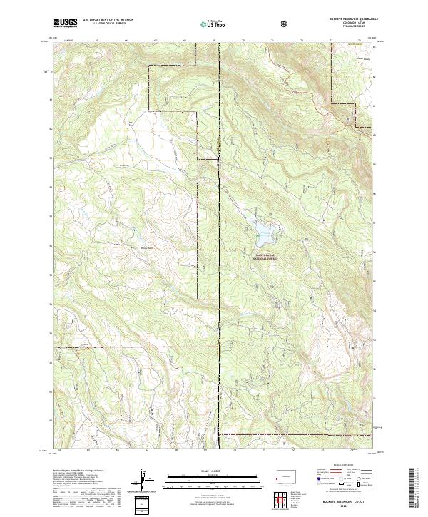
2022 Map of Buckeye Reservoir
USGS Topo · Published 2022About this map
Buckeye Reservoir and the surrounding high-country terrain define this 2022 survey along the high-elevation boundary between Colorado and Utah. Within the Manti-La Sal National Forest, the landscape transitions from the massive uplift of Carpenter Ridge to the deep depression of Sinbad Valley. This geography creates a complex drainage network where Roc Cr and Buckeye Cr cut through the canyons of the Montrose County backcountry.
Find a feature on this map
41 named features on this map. Tap any name to fly to it.
Don’t see what you’re looking for? This feature index may not catch every label — zoom into the map to look around manually.
Map Details
Editions of this 2022 Buckeye Reservoir Map
This is the sole edition of this map. No revisions or reprints were ever made.
Other maps of this area

1885 · La Sal
USGS Topo · 1:250,000

1916 · Paradox Valley
USGS Topo · 1:125,000

1922 · Paradox Valley
USGS Topo · 1:125,000

1948 · Roc Creek
USGS Topo · 1:24,000

1948 · Paradox
USGS Topo · 1:24,000

1949 · Paradox
USGS Topo · 1:24,000

1949 · Roc Creek
USGS Topo · 1:24,000

1949 · Juanita Arch
USGS Topo · 1:24,000

1950 · Juanita Arch
USGS Topo · 1:24,000

1954 · Mt Peale 1 SE
USGS Topo · 1:24,000