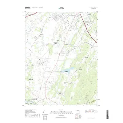
2019 Map of Buckeystown
USGS Topo · Published 2019About this map
The Monocacy River valley defines this part of Frederick County, where the Monocacy National Battlefield preserves the site of a pivotal Civil War engagement north of the river's bend. This 2019 survey captures a landscape where agricultural history and modern preservation coexist, from the Lilypons water gardens near Lily Pons Bridge to the southern reaches of the Chesapeake and Ohio Canal National Historical Park along the Potomac River.
Find a feature on this map
124 named features on this map. Tap any name to fly to it.
Don’t see what you’re looking for? This feature index may not catch every label — zoom into the map to look around manually.
Map Details
Editions of this 2019 Buckeystown Map
This is the sole edition of this map. No revisions or reprints were ever made.
Other maps of this area

1884 · Harpers Ferry
USGS Topo · 1:125,000

1891 · Harpers Ferry
USGS Topo · 1:125,000

1893 · Frederick
USGS Topo · 1:125,000

1893 · Harpers Ferry
USGS Topo · 1:125,000

1894 · Frederick
USGS Topo · 1:125,000

1908 · Middletown
USGS Topo · 1:48,000

1908 · Seneca
USGS Topo · 1:62,500

1908 · Ijamsville
USGS Topo · 1:62,500

1909 · Ijamsville
USGS Topo · 1:62,500

1910 · Antietam
USGS Topo · 1:62,500