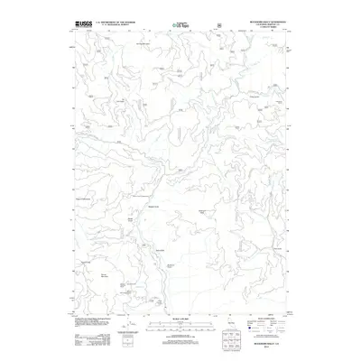
2012 Map of Buckhorn Bally
USGS Topo · Published 2012About this map
Sterling Mountain and the high summit of Buckhorn Bally define this Siskiyou County landscape, where deep drainages like Beaver Cr and its numerous tributaries carve through the terrain. The map details a network of ranching and recreation sites, from Mayflower Ranch in the northeast to the cluster of Condrey Ranch and Round Mountain Ranch near the Round Mountain Airport. These family-named landmarks reflect the enduring rural character of the area, while the presence of the Beaver Creek Campground and Buckhorn Spring indicates the region's importance for local outdoor use. The complex topography is punctuated by numerous gulches, such as Fat Doe Gulch and Ragged Gulch, which follow the serpentine flow of Little Soda Cr and other mountain streams toward the primary river valleys.
Find a feature on this map
41 named features on this map. Tap any name to fly to it.
Don’t see what you’re looking for? This feature index may not catch every label — zoom into the map to look around manually.
Map Details
Editions of this 2012 Buckhorn Bally Map
This is the sole edition of this map. No revisions or reprints were ever made.
Other maps of this area
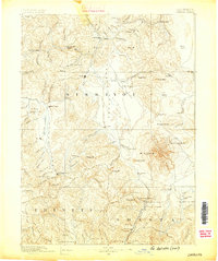
1886 · Shasta
USGS Topo · 1:250,000
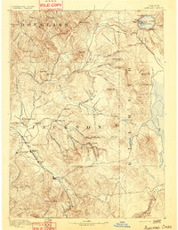
1891 · Ashland
USGS Topo · 1:250,000
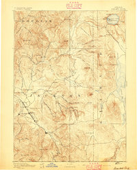
1893 · Ashland
USGS Topo · 1:250,000
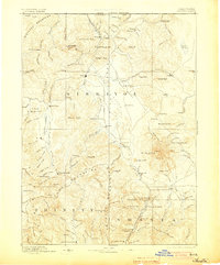
1894 · Shasta
USGS Topo · 1:250,000
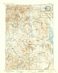
1897 · Ashland
USGS Topo · 1:250,000
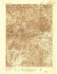
1932 · Yreka
USGS Topo · 1:96,000
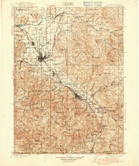
1938 · Medford
USGS Topo · 1:125,000
1939 · Yreka
USGS Topo · 1:125,000
1948 · Weed
USGS Topo · 1:250,000
1950 · Weed
USGS Topo · 1:250,000