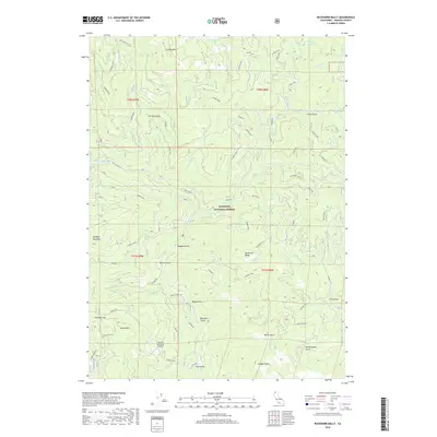
2018 Map of Buckhorn Bally
USGS Topo · Published 2018About this map
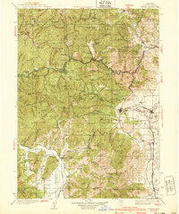
Klamath National Forest covers much of this northern California landscape, characterized by a complex network of canyons and high peaks in the Siskiyou range. The map reveals a history of land use and resource management, from the cattle-ranching operations at Condry Ranch to the remote Round Mountain Airport. High elevation landmarks like Buckhorn Bally and Sterling Mtn oversee a drainage system that includes Beaver Cr and Lumgrey Cr. The area is laced with historic routes and named forestry trails such as Lumgrey Trail and Beaver Trap, pointing toward a long-standing reliance on these paths for access through steep terrain. Water sources such as Cinnabar Springs and Buckhorn Spring appear as vital localized features in a territory dominated by gulches like Fat Doe Gulch and Woodchopper Gulch.
Find a feature on this map
70 named features on this map. Tap any name to fly to it.
Don’t see what you’re looking for? This feature index may not catch every label — zoom into the map to look around manually.
Map Details
Editions of this 2018 Buckhorn Bally Map
This is the sole edition of this map. No revisions or reprints were ever made.
Other maps of this area
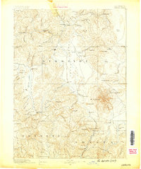
1886 · Shasta
USGS Topo · 1:250,000
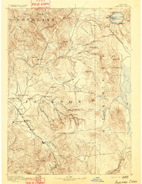
1891 · Ashland
USGS Topo · 1:250,000
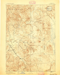
1893 · Ashland
USGS Topo · 1:250,000
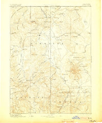
1894 · Shasta
USGS Topo · 1:250,000
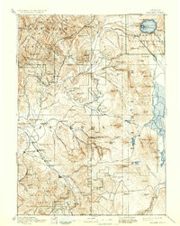
1897 · Ashland
USGS Topo · 1:250,000
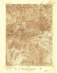
1932 · Yreka
USGS Topo · 1:96,000
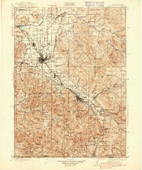
1938 · Medford
USGS Topo · 1:125,000
1939 · Yreka
USGS Topo · 1:125,000

1948 · Weed
USGS Topo · 1:250,000

1950 · Weed
USGS Topo · 1:250,000