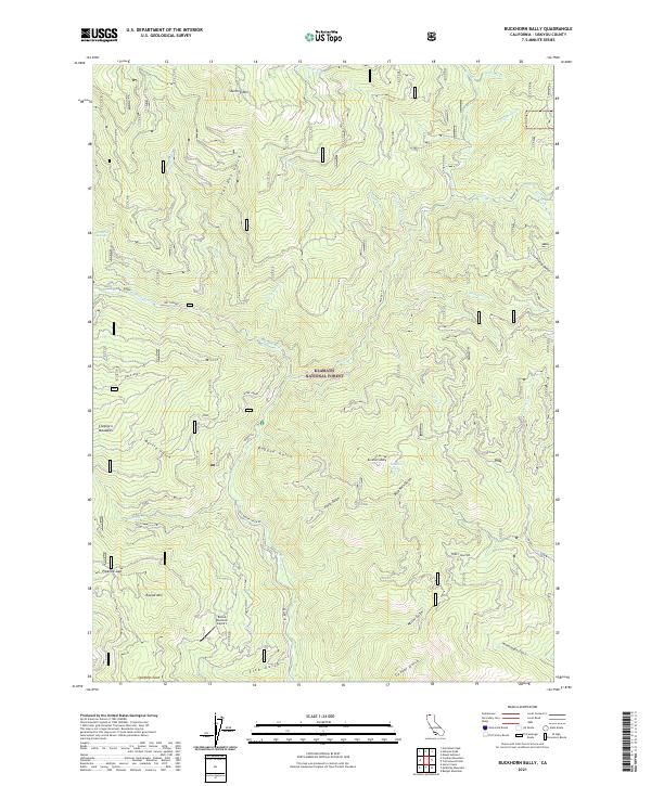
2021 Map of Buckhorn Bally
USGS Topo · Published 2021About this map
Klamath National Forest dominates this interior mountain landscape, where deep drainages like Ragged Gulch and Fat Doe Gulch carve into the high ridges of the Siskiyou range. The topography is defined by significant elevations such as Sterling Mtn and Buckhorn Bally, which watch over a network of remote water sources including Cinnabar Springs and Buckhorn Spring. Human presence is concentrated around timber and transit routes, notably along the Old Beaver Creek Rd and the West Beaver road system.
Find a feature on this map
42 named features on this map. Tap any name to fly to it.
Don’t see what you’re looking for? This feature index may not catch every label — zoom into the map to look around manually.
Map Details
Editions of this 2021 Buckhorn Bally Map
This is the sole edition of this map. No revisions or reprints were ever made.
Other maps of this area

1886 · Shasta
USGS Topo · 1:250,000

1891 · Ashland
USGS Topo · 1:250,000

1893 · Ashland
USGS Topo · 1:250,000

1894 · Shasta
USGS Topo · 1:250,000

1897 · Ashland
USGS Topo · 1:250,000

1932 · Yreka
USGS Topo · 1:96,000

1938 · Medford
USGS Topo · 1:125,000

1939 · Yreka
USGS Topo · 1:125,000

1948 · Weed
USGS Topo · 1:250,000

1950 · Weed
USGS Topo · 1:250,000