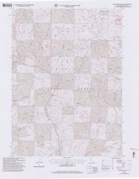
2001 Map of Buckhorn Bally
USGS Topo · Published 2004About this map
The rugged headwaters of Beaver Creek dominate this corner of the Klamath National Forest at the turn of the 21st century. High-elevation ranching and mining history is evident at the Mayflower Ranch and the Condrey Ranch (Site), where a lone Grave remains near a seasonal Spring. The landscape is etched with the remnants of industrial prospecting, from the Iron Dyke Mine Tailings Pond in the north to the Gold Bug Mine and Golden Rule Mine in the south. These mountain operations were supported by isolated infrastructure, including a remote Landing Strip near Marble Creek. Diverse drainage systems like Hungry Creek and Bumblebee Creek carve through the terrain between prominent peaks like Buckhorn Bally and Sterling Mtn.
Find a feature on this map
57 named features on this map. Tap any name to fly to it.
Don’t see what you’re looking for? This feature index may not catch every label — zoom into the map to look around manually.
Map Details
Editions of this 2001 Buckhorn Bally Map
2 editions found
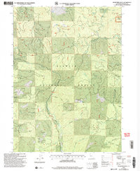
Other maps of this area

1886 · Shasta
USGS Topo · 1:250,000

1891 · Ashland
USGS Topo · 1:250,000

1893 · Ashland
USGS Topo · 1:250,000

1894 · Shasta
USGS Topo · 1:250,000

1897 · Ashland
USGS Topo · 1:250,000

1932 · Yreka
USGS Topo · 1:96,000

1938 · Medford
USGS Topo · 1:125,000

1939 · Yreka
USGS Topo · 1:125,000

1948 · Weed
USGS Topo · 1:250,000

1950 · Weed
USGS Topo · 1:250,000