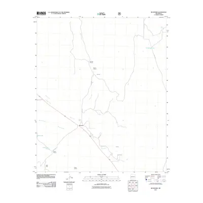
2011 Map of Buckhorn
USGS Topo · Published 2011About this map
The settlement of Buckhorn serves as the primary focal point of this southwestern New Mexico landscape, situated at the junction of several local routes. The terrain is defined by a series of drainage systems and canyons, including Sacaton Creek and Duck Creek, which flow through an area marked by livestock-related infrastructure. Ranching history is evident through features like George Clark Tank and Horse Lake Tank, while the northern portion of the sheet is characterized by more pronounced geological formations such as Little Pat Canyon and Big Pat Canyon. To the west, Hells Hole and Brown Canyon suggest the increasingly complex topography found near Horse Lake. This survey illustrates a quiet rural economy where road networks like Stevens Rd and Sacaton Rd link small outposts like Stevenson to the more established center at Buckhorn.
Find a feature on this map
23 named features on this map. Tap any name to fly to it.
Don’t see what you’re looking for? This feature index may not catch every label — zoom into the map to look around manually.
Map Details
Editions of this 2011 Buckhorn Map
This is the sole edition of this map. No revisions or reprints were ever made.
Other maps of this area
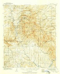
1910 · Mogollon
USGS Topo · 1:125,000
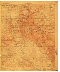
1912 · Mogollon
USGS Topo · 1:125,000

1954 · Silver City
USGS Topo · 1:250,000

1954 · Clifton
USGS Topo · 1:250,000

1957 · Clifton
USGS Topo · 1:250,000
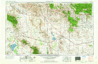
1958 · Silver City
USGS Topo · 1:250,000

1958 · Clifton
USGS Topo · 1:250,000
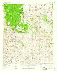
1959 · Steeple Rock
USGS Topo · 1:62,500
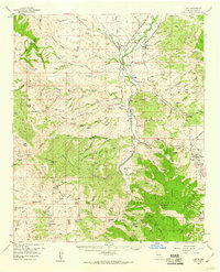
1959 · Cliff
USGS Topo · 1:62,500
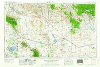
1962 · Silver City
USGS Topo · 1:250,000