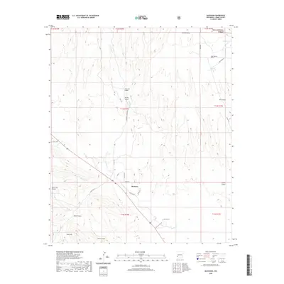
2020 Map of Buckhorn
USGS Topo · Published 2020About this map
Buckhorn lies at the heart of this high-desert landscape in Grant County, where the settlement is surrounded by a complex network of canyons and seasonal drainage draws. The terrain is defined by dramatic elevation changes, from the heights of Mud Spring Mesa to the depths of Hells Hole and Little Pat Canyon. A portion of the Gila National Forest occupies the northeastern corner, indicating the transition from open grazing lands to protected wilderness. The geography reveals a ranching-focused economy reliant on water management features like George Clark Tank and Horse Lake Tank. Dozens of local roads, including Duck Creek Rd and Horse Lake Rd, connect isolated ranching sites and family-named landmarks such as Bell Canyon and Shields Canyon, providing a detailed view of the rural infrastructure in the early twenty-first century.
Find a feature on this map
41 named features on this map. Tap any name to fly to it.
Don’t see what you’re looking for? This feature index may not catch every label — zoom into the map to look around manually.
Map Details
Editions of this 2020 Buckhorn Map
This is the sole edition of this map. No revisions or reprints were ever made.
Other maps of this area
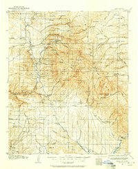
1910 · Mogollon
USGS Topo · 1:125,000
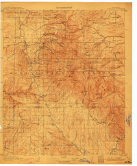
1912 · Mogollon
USGS Topo · 1:125,000

1954 · Silver City
USGS Topo · 1:250,000

1954 · Clifton
USGS Topo · 1:250,000

1957 · Clifton
USGS Topo · 1:250,000
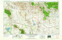
1958 · Silver City
USGS Topo · 1:250,000

1958 · Clifton
USGS Topo · 1:250,000
1959 · Steeple Rock
USGS Topo · 1:62,500
1959 · Cliff
USGS Topo · 1:62,500
1962 · Silver City
USGS Topo · 1:250,000