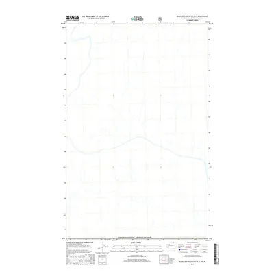
2017 Map of Buckhorn Mountain OE N
USGS Topo · Published 2017About this map
The international boundary at United States of America/Canada defines the northern extent of this landscape, where the high-altitude terrain of the Okanagan region transitions into British Columbia. This survey reveals a complex network of unnamed drainage systems and seasonal streams that carve through the upland topography, illustrating the natural watershed patterns of the Pacific Northwest borderlands. The intricate contour lines and hydrographic data reflect the physical reality of this transborder corridor during the second decade of the 21st century. While the map is centered on these natural features, the presence of the United States of America/Canada border provides a clear geographic anchor for researchers studying the intersection of public land management and international geography.
Find a feature on this map
1 named feature on this map. Tap any name to fly to it.
Don’t see what you’re looking for? This feature index may not catch every label — zoom into the map to look around manually.
Map Details
Editions of this 2017 Buckhorn Mountain OE N Map
This is the sole edition of this map. No revisions or reprints were ever made.
Other maps of this area

1902 · Osoyoos
USGS Topo · 1:125,000

1904 · Osoyoos
USGS Topo · 1:125,000

1904 · Republic
USGS Topo · 1:125,000

1951 · Bodie Mountain
USGS Topo · 1:62,500

1954 · Okanogan
USGS Topo · 1:250,000

1957 · Mt. Bonaparte
USGS Topo · 1:62,500

1958 · Okanogan
USGS Topo · 1:250,000

1958 · Bodie Mtn
USGS Topo · 1:62,500

1984 · Oroville
USGS Topo · 1:100,000

1984 · Republic
USGS Topo · 1:100,000