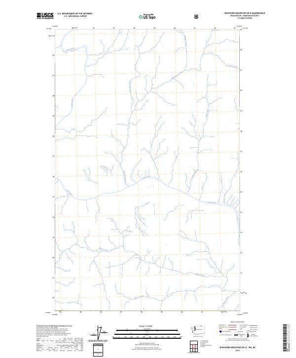
2023 Map of Buckhorn Mountain OE N
USGS Topo · Published 2023About this map
The Kettle River defines the drainage of this Okanogan County landscape, winding through the northern and central portions of the map. This terrain is characterized by a dense network of tributaries including Nicholson Creek and Bubar Creek, which flow south and east toward the river's main channel. In the southern half of the sheet, the hydrology shifts as Myers Creek and March Creek collect the runoff of the high country, illustrating the complex watershed divide near the Canadian border. The distribution of these watercourses suggests a rugged mountain topography where stream beds provide the primary landmarks for navigation and land division. Unlike more developed regions, this area remains focused on its natural waterways, including smaller flows like Portmann Creek and Cedro Creek, which highlight the intricate drainage patterns of the northern Cascades foothills.
Find a feature on this map
10 named features on this map. Tap any name to fly to it.
Don’t see what you’re looking for? This feature index may not catch every label — zoom into the map to look around manually.
Map Details
Editions of this 2023 Buckhorn Mountain OE N Map
This is the sole edition of this map. No revisions or reprints were ever made.
Other maps of this area

1902 · Osoyoos
USGS Topo · 1:125,000

1904 · Osoyoos
USGS Topo · 1:125,000

1904 · Republic
USGS Topo · 1:125,000

1951 · Bodie Mountain
USGS Topo · 1:62,500

1954 · Okanogan
USGS Topo · 1:250,000

1957 · Mt. Bonaparte
USGS Topo · 1:62,500

1958 · Okanogan
USGS Topo · 1:250,000

1958 · Bodie Mtn
USGS Topo · 1:62,500

1984 · Oroville
USGS Topo · 1:100,000

1984 · Republic
USGS Topo · 1:100,000