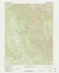
1992 Map of Buckingham Mtn
USGS Topo · Published 1995About this map
The South Fork Merced River defines the northern edge of this high-elevation landscape, where the Sierra National Forest meets early settlements and mining outposts. The map documents a transition from the river valley up toward the Buckingham Mountain and the Chowchilla Mountains, revealing a complex network of ridgelines and gulches. Local life in the 1990s was centered around small communities like Darrah and Jerseydale, connected by the winding Triangle Road.
Find a feature on this map
38 named features on this map. Tap any name to fly to it.
Don’t see what you’re looking for? This feature index may not catch every label — zoom into the map to look around manually.
Map Details
Editions of this 1992 Buckingham Mtn Map
2 editions found
Other maps of this area

1897 · Yosemite
USGS Topo · 1:125,000

1900 · Yosemite
USGS Topo · 1:125,000

1903 · Yosemite
USGS Topo · 1:125,000

1909 · Yosemite
USGS Topo · 1:125,000

1912 · Mariposa
USGS Topo · 1:125,000

1947 · Mariposa
USGS Topo · 1:24,000

1947 · El Portal
USGS Topo · 1:24,000

1947 · Mariposa
USGS Topo · 1:250,000

1947 · El Portal
USGS Topo · 1:62,500

1947 · Mariposa
USGS Topo · 1:62,500