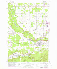
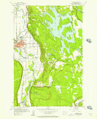
1956 Map of Buckley
USGS Topo · Published 1976About this map
Buckley and Enumclaw serve as the primary anchors of this mid-century landscape where the White River carves a deep path between King and Pierce counties. The map captures a transitional era of rural life, evidenced by community hubs like the Finnish Hall and Sunrise Grange alongside the expansive grounds of the Rainier State Sch. Water management is a dominant theme, seen in the industrial flume networks and engineered features like Dingle Basin and Wickersham Basin.
Find a feature on this map
42 named features on this map. Tap any name to fly to it.
Don’t see what you’re looking for? This feature index may not catch every label — zoom into the map to look around manually.
Map Details
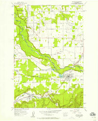
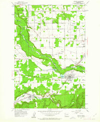
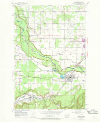
Editions of this 1956 Buckley Map
4 editions found
Other maps of this area

1897 · Tacoma
USGS Topo · 1:125,000

1900 · Tacoma
USGS Topo · 1:125,000

1913 · Cedar Lake
USGS Topo · 1:125,000

1942 · Lake Tapps
USGS Topo · 1:62,500

1944 · Lake Tapps
USGS Topo · 1:62,500

1949 · Black Diamond
USGS Topo · 1:24,000

1949 · Auburn
USGS Topo · 1:24,000

1953 · Cumberland
USGS Topo · 1:24,000

1956 · Orting
USGS Topo · 1:24,000
1956 · Sumner
USGS Topo · 1:24,000