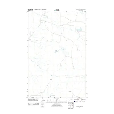
2011 Map of Buckley Lake
USGS Topo · Published 2011About this map
Sage Creek and Tallow Creek wind through this part of Phillips County, carving a landscape defined by intermittent watercourses and small-scale water management. This 2011 survey documents a remote ranching region where drainage features like Plummer Coulee and Wilson Coulee converge toward Buckley Lake. A notable aspect of the local geography is the presence of several numbered water structures, including PR-139 Dam and the Resettlement FSA Number 2 Dam. The latter refers to the Farm Security Administration, reflecting a legacy of federal land utilization and resettlement projects in the Montana plains. These small dams and reservoirs, such as Lake PR-19 held by PR-19 Dam, are vital for managing the scarce water resources of the northern prairie. Rising above the creek beds, Collins Hill serves as a prominent landmark in this sparsely populated terrain.
Find a feature on this map
11 named features on this map. Tap any name to fly to it.
Don’t see what you’re looking for? This feature index may not catch every label — zoom into the map to look around manually.
Map Details
Editions of this 2011 Buckley Lake Map
This is the sole edition of this map. No revisions or reprints were ever made.
Other maps of this area

1954 · Jordan
USGS Topo · 1:250,000

1954 · Glasgow
USGS Topo · 1:250,000

1956 · Jordan
USGS Topo · 1:250,000

1957 · Glasgow
USGS Topo · 1:250,000

1958 · Glasgow
USGS Topo · 1:250,000

1958 · Jordan
USGS Topo · 1:250,000

1964 · Jordan
USGS Topo · 1:250,000

1965 · Coal Mine Hill
USGS Topo · 1:24,000

1965 · Sun Prairie
USGS Topo · 1:24,000

1965 · Buckley Lake
USGS Topo · 1:24,000