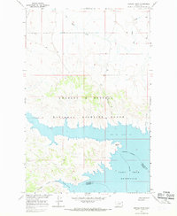
1965 Map of Sun Prairie
USGS Topo · Published 1969About this map
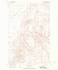
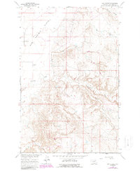
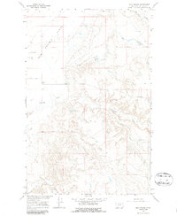
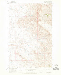
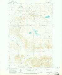
Sun Prairie Flats dominate the northwestern portion of this mid-1960s Phillips County landscape, giving way to a complex network of coulees and drainage systems. The small settlement of Sun Prairie serves as the focal point for this rural area, supported by the Sun Prairie Sch situated just to the south. This survey was conducted as part of the Department of the Interior program for the development of the Missouri River Basin, illustrating the hydrological and topographic importance of the region's seasonal waterways.
Find a feature on this map
8 named features on this map. Tap any name to fly to it.
Don’t see what you’re looking for? This feature index may not catch every label — zoom into the map to look around manually.
Map Details
Editions of this 1965 Sun Prairie Map
3 editions found
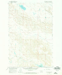
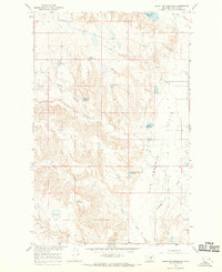
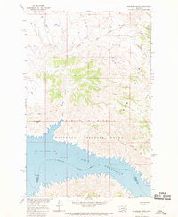
Other maps of this area

1954 · Jordan
USGS Topo · 1:250,000

1956 · Jordan
USGS Topo · 1:250,000

1958 · Jordan
USGS Topo · 1:250,000

1964 · Jordan
USGS Topo · 1:250,000
1965 · Coal Mine Hill
USGS Topo · 1:24,000
1965 · Herman Point
USGS Topo · 1:24,000
1965 · Whitcomb Lake
USGS Topo · 1:24,000
1965 · Stratton Reservoir
USGS Topo · 1:24,000
1965 · Schuyler Butte
USGS Topo · 1:24,000
1965 · Buckley Lake
USGS Topo · 1:24,000