
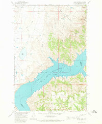
1965 Map of Herman Point
USGS Topo · Published 1969About this map
Fort Peck Reservoir dominates the southern half of this landscape, its expansive waters and intricate shoreline defining the border between Phillips and Garfield counties. This mid-1960s survey captures a stretch of the Missouri River Basin during a period of significant federal land management, evidenced by the presence of the Charles M Russell National Wildlife Range. The northern terrain is a network of drainage systems, including the meandering Box Elder Creek and the smaller Johnny Creek, which carve through the plains toward the reservoir.
Find a feature on this map
10 named features on this map. Tap any name to fly to it.
Don’t see what you’re looking for? This feature index may not catch every label — zoom into the map to look around manually.
Map Details
Editions of this 1965 Herman Point Map
This is the sole edition of this map. No revisions or reprints were ever made.
Other maps of this area

1954 · Jordan
USGS Topo · 1:250,000

1956 · Jordan
USGS Topo · 1:250,000

1958 · Jordan
USGS Topo · 1:250,000

1964 · Jordan
USGS Topo · 1:250,000

1965 · Coal Mine Hill
USGS Topo · 1:24,000

1965 · Lost Creek
USGS Topo · 1:24,000

1965 · Sun Prairie
USGS Topo · 1:24,000

1965 · Pine Grove School
USGS Topo · 1:24,000
1965 · Mickey Butte
USGS Topo · 1:24,000
1965 · Stratton Reservoir
USGS Topo · 1:24,000