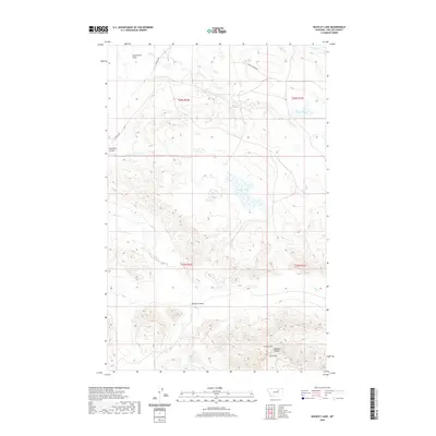
2020 Map of Buckley Lake
USGS Topo · Published 2020About this map
Sun Prairie Flats occupies the northern reach of this Montana landscape, where the terrain transitions from broad plateaus into a series of intricate drainage systems. The namesake Buckley Lake sits centrally, surrounded by a complex network of coulees that define the local topography. To the south, the Larb Hills rise significantly, marked by the prominent Collins Hill and the deeply etched Badland Coulee. This area in Phillips County is characterized by its seasonal water features, including Sage Cr and Tallow Cr, which carve through the land. Modern infrastructure is limited to rural routes like Content Rd and Triple Crossing Rd, which provide access to this ranching and grazing country. The map illustrates a classic High Plains environment where water sources such as Lake PR 19 and Spring Cr are vital landmarks in an otherwise open and relief-heavy territory.
Find a feature on this map
17 named features on this map. Tap any name to fly to it.
Don’t see what you’re looking for? This feature index may not catch every label — zoom into the map to look around manually.
Map Details
Editions of this 2020 Buckley Lake Map
This is the sole edition of this map. No revisions or reprints were ever made.
Other maps of this area

1954 · Jordan
USGS Topo · 1:250,000

1954 · Glasgow
USGS Topo · 1:250,000

1956 · Jordan
USGS Topo · 1:250,000

1957 · Glasgow
USGS Topo · 1:250,000

1958 · Glasgow
USGS Topo · 1:250,000

1958 · Jordan
USGS Topo · 1:250,000

1964 · Jordan
USGS Topo · 1:250,000

1965 · Coal Mine Hill
USGS Topo · 1:24,000

1965 · Sun Prairie
USGS Topo · 1:24,000

1965 · Buckley Lake
USGS Topo · 1:24,000