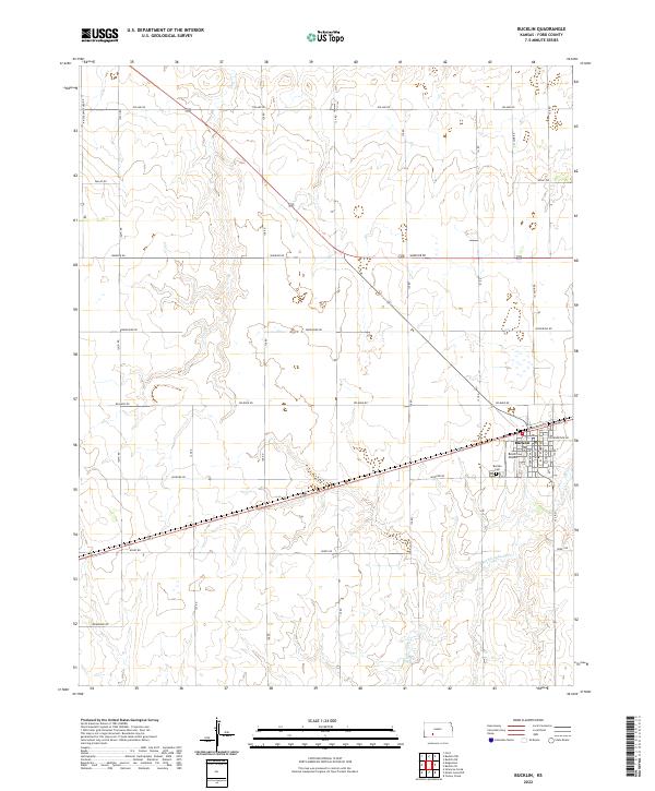
2022 Map of Bucklin
USGS Topo · Published 2022About this map
Bucklin serves as the primary population center in this section of Ford County, situated at the intersection of significant rural corridors and rail infrastructure. The town layout is clearly defined by its residential grid, including streets such as S Nebraska Ave and S Ford Ave, while E Railroad St marks its northern industrial and transport boundary. Beyond the town limits, the landscape transitions into a vast network of section-line roads with evocative names like Whirlwind Rd, Windy Rd, and Warrior Rd, which weave through the agricultural parcels of t28s r22w and t29s r21w. To the south, Rattlesnake Cr provides the primary natural drainage through the terrain. Local heritage and community infrastructure are preserved through the mapping of the Bucklin Cem and the Bucklin Airport, reflecting the area's continued reliance on both aviation and traditional ground transit.
Find a feature on this map
31 named features on this map. Tap any name to fly to it.
Don’t see what you’re looking for? This feature index may not catch every label — zoom into the map to look around manually.
Map Details
Editions of this 2022 Bucklin Map
This is the sole edition of this map. No revisions or reprints were ever made.
Other maps of this area

1892 · Spearville
USGS Topo · 1:125,000

1894 · Spearville
USGS Topo · 1:125,000

1896 · Ashland
USGS Topo · 1:125,000

1955 · Pratt
USGS Topo · 1:250,000

1959 · Pratt
USGS Topo · 1:250,000

1969 · Bucklin NE
USGS Topo · 1:24,000

1969 · Bucklin SE
USGS Topo · 1:24,000

1969 · Bucklin
USGS Topo · 1:24,000

1969 · Kingsdown
USGS Topo · 1:24,000

1969 · Bucklin NW
USGS Topo · 1:24,000