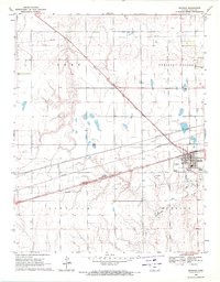
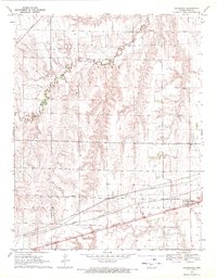
1969 Map of Bucklin
USGS Topo · Published 1971About this map
Bucklin serves as the primary hub of this Ford County landscape, situated at a major junction of the Chicago Rock Island and Pacific railroad lines. The surrounding terrain is organized into civil townships including Pleasant Valley, Sodville, and Bucklin, reflecting the agricultural and administrative structure of late 1960s Kansas. The map documents essential infrastructure of the era, from the Bucklin Airfield and local Sewage Disposal facility to the extensive network of pipelines that crisscross the prairie. Along the southern reaches, Rattlesnake Creek winds through the fields, providing a natural contrast to the rigid grid of section lines and transport corridors. Genealogists and local historians can find specific landmarks such as the Bucklin Cemetery, located just west of the town center, providing a detailed record of the community's physical footprint before later developments.
Find a feature on this map
14 named features on this map. Tap any name to fly to it.
Don’t see what you’re looking for? This feature index may not catch every label — zoom into the map to look around manually.
Map Details
Editions of this 1969 Bucklin Map
This is the sole edition of this map. No revisions or reprints were ever made.
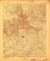
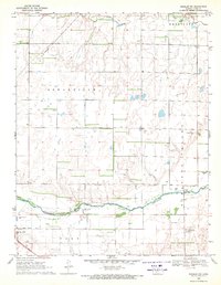
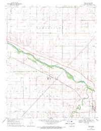
Other maps of this area

1892 · Spearville
USGS Topo · 1:125,000

1894 · Spearville
USGS Topo · 1:125,000
1896 · Ashland
USGS Topo · 1:125,000

1955 · Pratt
USGS Topo · 1:250,000

1959 · Pratt
USGS Topo · 1:250,000
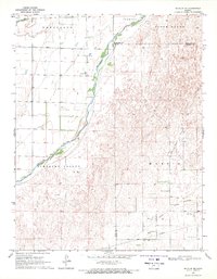
1969 · Bucklin NE
USGS Topo · 1:24,000
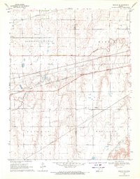
1969 · Bucklin SE
USGS Topo · 1:24,000
1969 · Kingsdown
USGS Topo · 1:24,000
1969 · Bucklin NW
USGS Topo · 1:24,000
1969 · Ford
USGS Topo · 1:24,000