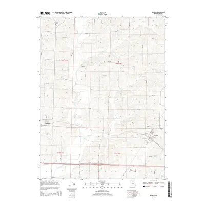
2014 Map of Bucklin
USGS Topo · Published 2014About this map
Bucklin and Saint Catharine anchor this survey of Linn County, Missouri, highlighting the intersection of rural agriculture and small-town settlement patterns. The landscape is defined by the winding course of E Yellow Cr and its various tributaries, including Long Br, Sights Br, and Onion Br. These waterways cut through the terrain, influencing the placement of road networks like Kiowa Rd and Mesa Rd.
Find a feature on this map
77 named features on this map. Tap any name to fly to it.
Don’t see what you’re looking for? This feature index may not catch every label — zoom into the map to look around manually.
Map Details
Editions of this 2014 Bucklin Map
This is the sole edition of this map. No revisions or reprints were ever made.
Other maps of this area

1946 · Brookfield
USGS Topo · 1:62,500

1948 · Brookfield
USGS Topo · 1:62,500

1949 · Rothville
USGS Topo · 1:24,000

1949 · Bucklin
USGS Topo · 1:24,000

1949 · Bucklin NW
USGS Topo · 1:24,000

1950 · Bucklin
USGS Topo · 1:24,000

1950 · New Cambria West
USGS Topo · 1:24,000

1950 · Rothville
USGS Topo · 1:24,000

1950 · Bucklin NW
USGS Topo · 1:24,000

1951 · New Boston
USGS Topo · 1:24,000