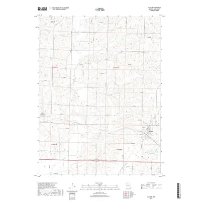
2017 Map of Bucklin
USGS Topo · Published 2017About this map
Bucklin serves as the primary hub in this portion of Linn County, anchored by its grid of residential streets like Hickory St and W 3rd St. The surrounding landscape is defined by the headwaters and tributaries of several drainage systems, including E Yellow Cr and its feeders like Onion Br and Sights Br. To the west, the smaller settlement of Saint Catharine is situated along the corridor of Katy Rd. For those tracing local heritage, the map identifies several significant locations such as the Pleasant View Baptist Cem in the north and Cash Cem near Clarks Cr. The Bucklin Reservoir and the winding Van Dorsen Cr highlight the local water management and natural drainage patterns that have shaped land use in this part of Missouri.
Find a feature on this map
53 named features on this map. Tap any name to fly to it.
Don’t see what you’re looking for? This feature index may not catch every label — zoom into the map to look around manually.
Map Details
Editions of this 2017 Bucklin Map
This is the sole edition of this map. No revisions or reprints were ever made.
Other maps of this area

1946 · Brookfield
USGS Topo · 1:62,500

1948 · Brookfield
USGS Topo · 1:62,500

1949 · Rothville
USGS Topo · 1:24,000

1949 · Bucklin
USGS Topo · 1:24,000

1949 · Bucklin NW
USGS Topo · 1:24,000

1950 · Bucklin
USGS Topo · 1:24,000

1950 · New Cambria West
USGS Topo · 1:24,000

1950 · Rothville
USGS Topo · 1:24,000

1950 · Bucklin NW
USGS Topo · 1:24,000

1951 · New Boston
USGS Topo · 1:24,000