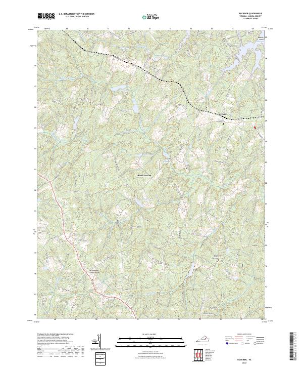
2022 Map of Buckner
USGS Topo · Published 2022About this map
The settlement of Buckner and the nearby crossroads of Gardners Crossroads anchor this portion of Louisa County, characterized by a complex network of waterways feeding into the southern reaches of Lake Anna. The landscape is defined by the divided channels of the Little River, including the South Fork Little River and the North Fork Little River, which meander through a series of significant local impoundments such as Swift Millpond, Goodwin Lake, and Chisholm Lake. To the north, the shoreline of Lake Anna creates a ragged boundary around Jerdone Island and Robbies Island, reflecting the 20th-century transformation of the regional hydrography.
Find a feature on this map
85 named features on this map. Tap any name to fly to it.
Don’t see what you’re looking for? This feature index may not catch every label — zoom into the map to look around manually.
Map Details
Editions of this 2022 Buckner Map
This is the sole edition of this map. No revisions or reprints were ever made.
Other maps of this area

1887 · Spottsylvania
USGS Topo · 1:125,000

1890 · Goochland
USGS Topo · 1:125,000

1892 · Spottsylvania
USGS Topo · 1:125,000

1892 · Goochland
USGS Topo · 1:125,000

1942 · Mineral
USGS Topo · 1:31,680

1942 · Partlow
USGS Topo · 1:31,680

1942 · Contrary Creek
USGS Topo · 1:31,680

1942 · Pendleton
USGS Topo · 1:24,000

1942 · Buckner
USGS Topo · 1:24,000

1942 · Beaverdam
USGS Topo · 1:24,000