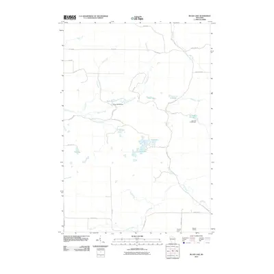
2010 Map of Bucks Lake
USGS Topo · Published 2010About this map
Mount Atlanta and the surrounding woodlands of Rusk County dominate this 2010 topographic record, highlighting a landscape defined by complex water systems and managed forest access. The drainage of Hemlock Creek and its South Fork join with the waters of Devils Creek and Johns Creek, illustrating the glacial hydrology of the region. Infrastructure for water management is clearly marked by the Tainter 2WP1283 Dam near Bucks Lake and the Blue Hills G-129.9 Dam controlling the Hill Trail Flowage.
Find a feature on this map
37 named features on this map. Tap any name to fly to it.
Don’t see what you’re looking for? This feature index may not catch every label — zoom into the map to look around manually.
Map Details
Editions of this 2010 Bucks Lake Map
This is the sole edition of this map. No revisions or reprints were ever made.
Other maps of this area

1945 · Meteor
USGS Topo · 1:48,000

1948 · Weyerhauser
USGS Topo · 1:48,000

1949 · Meteor
USGS Topo · 1:48,000

1949 · Rice Lake
USGS Topo · 1:48,000

1950 · Weyerhauser
USGS Topo · 1:48,000

1951 · Rice Lake
USGS Topo · 1:48,000

1951 · Chetek
USGS Topo · 1:62,500

1953 · Rice Lake
USGS Topo · 1:250,000

1959 · Rice Lake
USGS Topo · 1:250,000

1965 · Rice Lake
USGS Topo · 1:62,500