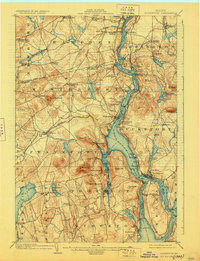
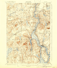
1902 Map of Bucksport
USGS Topo · Published 1928About this map
The Penobscot River serves as the central artery for this coastal Maine region at the turn of the century, dividing Waldo and Hancock counties. The shoreline is punctuated by maritime activity and defense, most notably at the stone fortifications of Fort Knox. The river's importance to commerce is evident in the numerous landings and settlements like Bucksport and Winterport that grew along its banks. Further inland, the landscape rises into significant peaks such as Mt Waldo and McCloud Mountain, where a Quarry signifies the local extraction industries of the era.
Find a feature on this map
88 named features on this map. Tap any name to fly to it.
Don’t see what you’re looking for? This feature index may not catch every label — zoom into the map to look around manually.
Map Details
Editions of this 1902 Bucksport Map
6 editions found
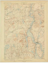
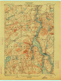
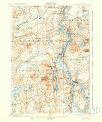
Other maps of this area

1900 · Orland
USGS Topo · 1:62,500

1900 · Bucksport
USGS Topo · 1:62,500

1902 · Orono
USGS Topo · 1:62,500

1902 · Bucksport
USGS Topo · 1:62,500

1902 · Bangor
USGS Topo · 1:62,500

1902 · Castine
USGS Topo · 1:62,500

1904 · Castine
USGS Topo · 1:62,500

1904 · Bluehill
USGS Topo · 1:62,500

1905 · Penobscot Bay
USGS Topo · 1:125,000

1915 · Belfast
USGS Topo · 1:62,500