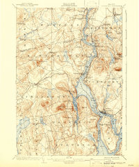
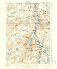
1902 Map of Bucksport
USGS Topo · Published 1943About this map
The Penobscot River serves as the central artery for this turn-of-the-century coastal Maine landscape, carrying a designated Steamboat Route past established river towns. On the eastern bank, Bucksport and Bucksport Center anchor the shoreline, while across the water, the heights of Mt. Waldo and Mosquito Mt. dominate the western horizon near Frankfort. The presence of a prominent Quarry near these peaks points to the era’s active granite industry. At the river’s narrowing, the defensive works of Fort Knox stand opposite Bucksport, situated near the Prospect Ferry crossing. Further inland, the map reveals a dense network of upland crossroads like Ellingwoods Corner and Nealeys Corner, illustrating the distributed farming and milling settlements that defined Waldo and Hancock counties before modern highway consolidation. Large water bodies such as Swan Lake and Silver Lake mark the transitions toward the interior forests and orchards.
Find a feature on this map
91 named features on this map. Tap any name to fly to it.
Don’t see what you’re looking for? This feature index may not catch every label — zoom into the map to look around manually.
Map Details
Editions of this 1902 Bucksport Map
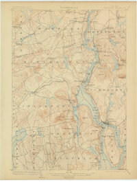
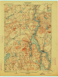
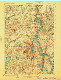
6 editions found
Other maps of this area

1900 · Orland
USGS Topo · 1:62,500

1900 · Bucksport
USGS Topo · 1:62,500

1902 · Orono
USGS Topo · 1:62,500

1902 · Bucksport
USGS Topo · 1:62,500

1902 · Bangor
USGS Topo · 1:62,500

1902 · Castine
USGS Topo · 1:62,500

1904 · Castine
USGS Topo · 1:62,500

1904 · Bluehill
USGS Topo · 1:62,500

1905 · Penobscot Bay
USGS Topo · 1:125,000

1915 · Belfast
USGS Topo · 1:62,500