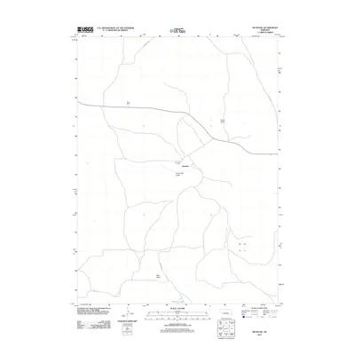
2011 Map of Bucktail
USGS Topo · Published 2011About this map
The Bucktail settlement and surrounding Sandhills rangeland define this section of Arthur County as it appeared in the early 21st century. This landscape is characterized by its significant cattle ranching heritage, with local operations such as Sizer Ranch and Sunnyside Ranch distributed across a topography of broad basins. Notable geographic depressions including Sunnyside Valley, Center Valley, and Mell Valley dictate the path of local travel. Transportation is facilitated by a network of rural routes such as Whitman Rd and Bucktail Rd, while the hydrology of the area is anchored by Bucktail Lake in the southern reaches. This survey provides a clear view of the sparse, ranch-oriented settlement patterns that persist in this remote corner of the Nebraska plains.
Find a feature on this map
11 named features on this map. Tap any name to fly to it.
Don’t see what you’re looking for? This feature index may not catch every label — zoom into the map to look around manually.
Map Details
Editions of this 2011 Bucktail Map
This is the sole edition of this map. No revisions or reprints were ever made.
Other maps of this area

1897 · Ogallala
USGS Topo · 1:125,000

1898 · Paxton
USGS Topo · 1:125,000

1900 · Ogallala
USGS Topo · 1:125,000

1901 · Paxton
USGS Topo · 1:125,000

1949 · Arthur
USGS Topo · 1:62,500

1949 · Flats
USGS Topo · 1:62,500

1950 · Flats
USGS Topo · 1:62,500

1950 · Arthur
USGS Topo · 1:62,500

1954 · North Platte
USGS Topo · 1:250,000

1956 · North Platte
USGS Topo · 1:250,000