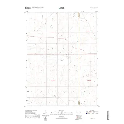
2017 Map of Bucktail
USGS Topo · Published 2017About this map
Bucktail serves as the focal point of this Nebraska Sandhills landscape, situated at a junction of rural routes along the boundary of Arthur and McPherson Counties. The terrain is defined by a series of depressions and lowlands, most notably Sunnyside Valley, Center Valley, and Loyd Valley. This 2017 survey illustrates a sparsely populated ranching region where names like Mell Valley and Eaton Lake denote the few permanent landmarks in an expanse of undulating dunes. The network of local connectors, including Three Mile Rd and Bucktail Rd, follows the natural contours of the land rather than a strict grid, reflecting the adaptations required by the area's geography. A small pocket of surface water at Eaton Lake provides a rare hydrologic feature in this semi-arid environment, anchoring the northwestern portion of the map.
Find a feature on this map
16 named features on this map. Tap any name to fly to it.
Don’t see what you’re looking for? This feature index may not catch every label — zoom into the map to look around manually.
Map Details
Editions of this 2017 Bucktail Map
This is the sole edition of this map. No revisions or reprints were ever made.
Other maps of this area

1897 · Ogallala
USGS Topo · 1:125,000

1898 · Paxton
USGS Topo · 1:125,000

1900 · Ogallala
USGS Topo · 1:125,000

1901 · Paxton
USGS Topo · 1:125,000

1949 · Arthur
USGS Topo · 1:62,500

1949 · Flats
USGS Topo · 1:62,500

1950 · Flats
USGS Topo · 1:62,500

1950 · Arthur
USGS Topo · 1:62,500

1954 · North Platte
USGS Topo · 1:250,000

1956 · North Platte
USGS Topo · 1:250,000