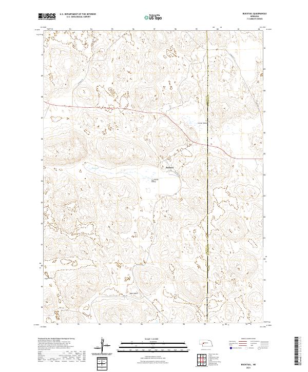
2021 Map of Bucktail
USGS Topo · Published 2021About this map
Sunnyside Valley and Center Valley form the heart of this landscape in the Nebraska Sandhills, where the topography is defined by the unique drainage patterns of the region. The small settlement of Bucktail serves as a focal point for the local ranching community, situated at the junction of Bucktail Rd and routes leading through the low-lying basins. The map captures the agricultural and geographical boundary between Arthur and McPherson Counties, illustrating how local infrastructure like Whitman Rd and Three Mile Rd navigates the undulating terrain. A significant water feature in this arid environment, Eaton Lake lies to the west, while named depressions such as Loyd Valley and Mell Valley highlight the specific family and local nomenclature tied to the land's history and survey records.
Find a feature on this map
16 named features on this map. Tap any name to fly to it.
Don’t see what you’re looking for? This feature index may not catch every label — zoom into the map to look around manually.
Map Details
Editions of this 2021 Bucktail Map
This is the sole edition of this map. No revisions or reprints were ever made.
Other maps of this area

1897 · Ogallala
USGS Topo · 1:125,000

1898 · Paxton
USGS Topo · 1:125,000

1900 · Ogallala
USGS Topo · 1:125,000

1901 · Paxton
USGS Topo · 1:125,000

1949 · Arthur
USGS Topo · 1:62,500

1949 · Flats
USGS Topo · 1:62,500

1950 · Flats
USGS Topo · 1:62,500

1950 · Arthur
USGS Topo · 1:62,500

1954 · North Platte
USGS Topo · 1:250,000

1956 · North Platte
USGS Topo · 1:250,000