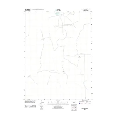
2011 Map of Bucktail Lake
USGS Topo · Published 2011About this map
Bucktail Lake sits at the northern edge of this high plains landscape, anchoring a sparsely populated ranching region in Nebraska. The terrain is defined by its agricultural utility and water access, with the drainage of West Birdwood Creek cutting through the southeast corner. Local activity is centered around established holdings such as Bucktail Ranch, Green Valley Ranch, and Lawler Ranch, which serve as the primary landmarks in an area otherwise marked by section lines and vast tracts of open land. Transportation is restricted to a handful of primary thoroughfares including Bucktail Rd and Road E T N, reflecting the isolation and functional land-use patterns of the early 21st-century Sandhills.
Find a feature on this map
7 named features on this map. Tap any name to fly to it.
Don’t see what you’re looking for? This feature index may not catch every label — zoom into the map to look around manually.
Map Details
Editions of this 2011 Bucktail Lake Map
This is the sole edition of this map. No revisions or reprints were ever made.
Other maps of this area

1897 · Ogallala
USGS Topo · 1:125,000

1898 · Paxton
USGS Topo · 1:125,000

1900 · Ogallala
USGS Topo · 1:125,000

1901 · Paxton
USGS Topo · 1:125,000

1949 · Arthur
USGS Topo · 1:62,500

1949 · Flats
USGS Topo · 1:62,500

1950 · Flats
USGS Topo · 1:62,500

1950 · Arthur
USGS Topo · 1:62,500

1954 · North Platte
USGS Topo · 1:250,000

1956 · North Platte
USGS Topo · 1:250,000