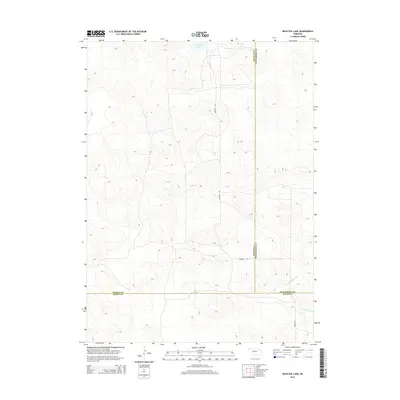
2014 Map of Bucktail Lake
USGS Topo · Published 2014About this map
Bucktail Lake sits in a high pocket of the Nebraska Sandhills, marking a landscape defined by expansive topography and sparse human infrastructure in the early 21st century. This area, where the borders of Arthur and McPherson counties meet, is characterized by its wind-swept terrain rather than dense settlement. Surface water is a defining rarity here, with West Birdwood Creek winding through the southeastern corner, providing a vital hydrological anchor for local ranching operations. Transportation is limited to remote corridors like Bucktail Road, which bisects the quadrangle from north to south, and Road E T N in the southeast. This survey captures the quiet isolation of the western High Plains, where property lines and county boundaries are often the most prominent human markers on the land.
Find a feature on this map
7 named features on this map. Tap any name to fly to it.
Don’t see what you’re looking for? This feature index may not catch every label — zoom into the map to look around manually.
Map Details
Editions of this 2014 Bucktail Lake Map
This is the sole edition of this map. No revisions or reprints were ever made.
Other maps of this area

1897 · Ogallala
USGS Topo · 1:125,000

1898 · Paxton
USGS Topo · 1:125,000

1900 · Ogallala
USGS Topo · 1:125,000

1901 · Paxton
USGS Topo · 1:125,000

1949 · Arthur
USGS Topo · 1:62,500

1949 · Flats
USGS Topo · 1:62,500

1950 · Flats
USGS Topo · 1:62,500

1950 · Arthur
USGS Topo · 1:62,500

1954 · North Platte
USGS Topo · 1:250,000

1956 · North Platte
USGS Topo · 1:250,000